Elevation 5,029 m | ||
 | ||
Mountain range Andes, Cordillera Apolobamba | ||
Rit'i Apachita (Quechua, rit'i snow, Aymara and Quechua apachita the place of transit of an important pass in the principal routes of the Andes; name in the Andes for a stone cairn, a little pile of rocks built along the trail in the high mountains, Hispanicized spelling Riti Apacheta) is a 5,029 metres (16,499 ft) high mountain in the Apolobamba mountain range in Bolivia. It is situated in the La Paz Department, Franz Tamayo Province, Pelechuco Municipality, north-west of Pelechuco. Rit'i Apachita lies northeast of the mountain Sural (Soral) and southeast of the mountain Apachita Pura Pura.
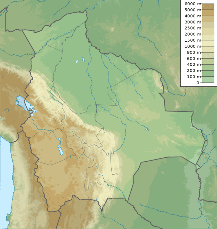
Map of Rit'i Apachita, Bolivia
There is a little lake east of the mountain named Q'illuqucha (Quechua for "yellow lake", Quellucocha).
References
Rit'i Apachita Wikipedia(Text) CC BY-SA
