Samiksha Jaiswal (Editor)

Cordillera Apolobamba

Updated on
Edit
Like
Comment
Share on FacebookTweet on TwitterShare on LinkedInShare on Reddit
Peak
  
Chawpi Urqu

Countries
  
Peru and Bolivia

Parent range
  
Andes

Elevation
  
6,044 m (19,829 ft)

Highest point
  
Chaupi Orco


Mountains
  
Chaupi Orco, Qala Phusa, Palumani, Jach'a Waracha

Apolobamba (Cordillera (de) Apolobamba) is a mountain range in the South American Andes.

Contents

Geographical Location

Cordillera Apolobamba Photo Tour Cordillera Apolobamba amp Kallawaya Trail 12 Days

It is located in the eastern borderland of Peru and Bolivia. On the Bolivian side it is situated in the La Paz Department and on the Peruvian side it lies in the Puno Region. It stretches across a distance of 50 km from east to west and 30 km from north to south.

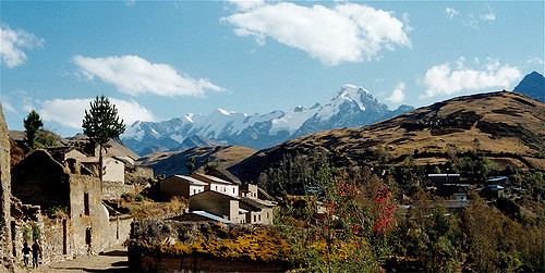
Curva, the main locality of the Kallawaya-people, is located 3,800 m above sea level.
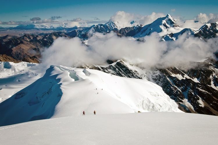
Mountains

Cordillera Apolobamba Apolobamba Trek in Bolivia Chile Montaa

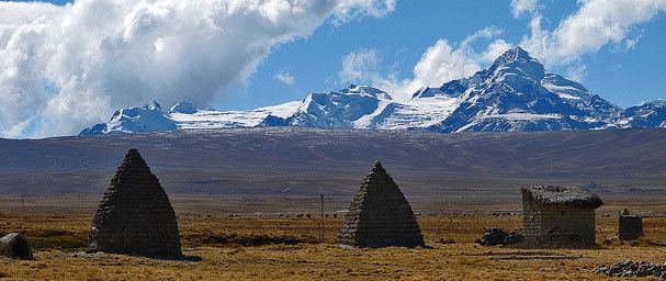
The highest mountain in the range is Chawpi Urqu, also known as Wisk'achani, at 6,044 metres (19,829 ft). Other notable peaks are:
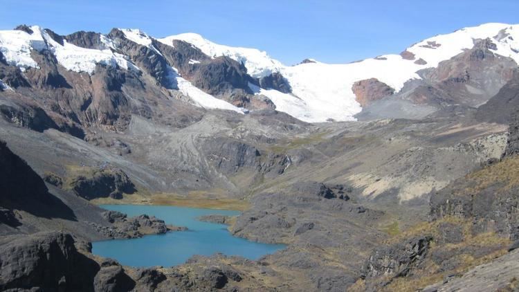
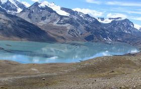
Lakes

Cordillera Apolobamba Le village de Curva face la Cordillera Apolobamba Boli Flickr

The largest lake in the range is Such'i Lake. Such'i is what the Aymara and Quechua people call a little fish which lives in the cold waters of the lakes and rivers of the Altiplano. Other lakes are listed below:

  • Ch'uxña Quta (Curva)
  • Ch'uxñaquta (Putina)
  • Cololo Lake
  • K'ayrani Quta
  • K'iski Quta
  • Qachu Quta
  • Qaqa Waychu
  • Qillwa Quta
  • Q'illu Qucha

  • Cordillera Apolobamba Cordillera Apolobamba South to North Traverse AAC Publications

    Cordillera Apolobamba 20 Incredible World Hikes 7 Summits Project

    Cordillera Apolobamba Cordillera Apolobamba Wikipedia

    References

    Cordillera Apolobamba Wikipedia