Girish Mahajan (Editor)

Pelechuco Municipality

Updated on
Edit
Like
Comment
Share on FacebookTweet on TwitterShare on LinkedInShare on Reddit
Country
  
Bolivia

Province
  
Franz Tamayo Province

Elevation
  
12,800 ft (3,900 m)

Department
  
La Paz Department

Seat
  
Pelechuco

Pelechuco Municipality

Pelechuco Municipality is the second municipal section of the Franz Tamayo Province in the La Paz Department, Bolivia. IN 2001 it had apopulation of 5,115. Its seat is Pelechuco.

Contents

The municipality is bordered to the north by the Apolo Municipality, to the east by the Apolo and Curva Municipalities, to the south by the Curva and Charazani Municipalities and to the west by Peru.

Geography

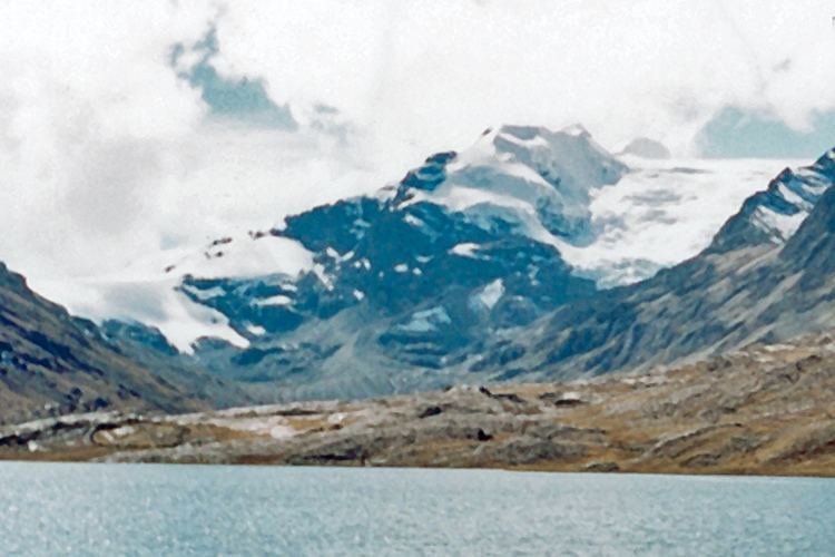
The Apolobamba mountain range traverses the municipality. The highest mountain of the municipality is Chawpi Urqu (Wisk'achani) at 6,044 m (19,829 ft). Other mountains are listed below:

Division

Pelechuco Municipality is subdivided into the following four cantons:

  • Antaquilla de Copacabana - 964 inhabitants (2001)
  • Pelechuco - 2,756 inhabitants
  • Suches - 227 inhabitants
  • Ulla Ulla - 1,168 inhabitants
  • Places of interest

    Some of the tourist attractions of the municipalities are:

  • Katantica, one of the most important peaks of the Apolobamba mountain range, about 5,592 m high, in Pelechuco Canton
  • the colonial town of Pelechuco
  • the village of Queara near Pelechuco which is also situated in the highest area of Madidi National Park
  • the Ulla Ulla National Reserve in Ulla Ulla Canton which today is part of the Apolobamba Integrated Management Natural Area
  • the pre-Hispanic Guanan ruins in Pelechuco Canton
  • Cololo Lake in Antaquilla de Copacabana Canton
  • Suches Lake on the border to Peru
  • References

    Pelechuco Municipality Wikipedia