
Country Brazil Region Zona da mata Elevation 5 m | Area 239.8 km² | |
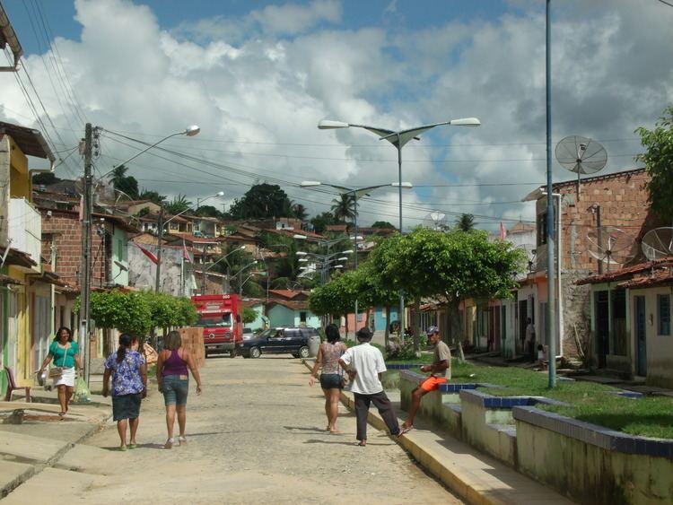 | ||
Rio Formoso is a municipality in Pernambuco with 21,815 inhabitants.
Contents
Map of Rio Formoso - State of Pernambuco, Brazil
Geography
The municipality contains part of the strictly protected Saltinho Biological Reserve, a 562 hectares (1,390 acres) conservation unit created in 1983.
Beaches
There are the only two beaches in Rio Formoso. The major attraction is the estuary of the Formoso River. Has an extensive area of coconut trees, sand banks and natural reefs.
Economy
The main economic activities in Rio Formoso are based in food and beverage industry and agribusiness. Especially, coconuts, sugarcane, and creations of cattle.
Economic Indicators
Economy by Sector 2006
References
Rio Formoso Wikipedia(Text) CC BY-SA