
Population 503 (2006 census) Nangwarry Lake Mundi Local time Tuesday 1:39 AM | Postcode(s) 5277 Postal code 5277 | |
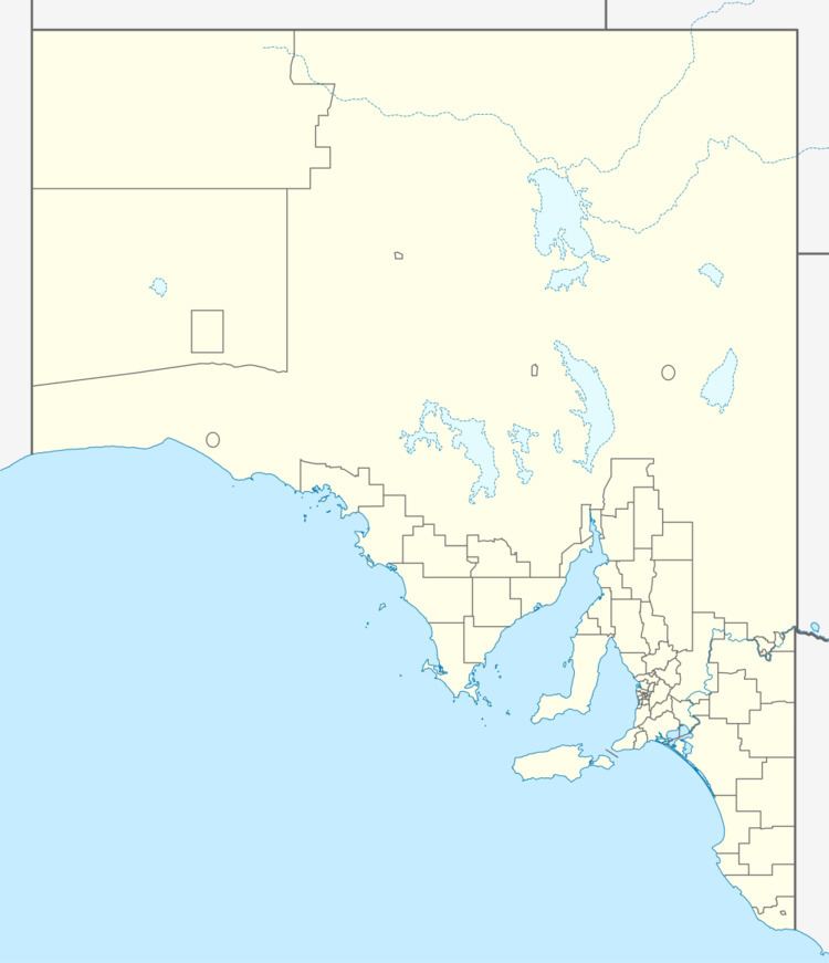 | ||
Location 403 km (250 mi) SE of Adelaide33 km (21 mi) N of Mount Gambier19 km (12 mi) S of Penola, South Australia Weather 17°C, Wind SE at 13 km/h, 94% Humidity | ||
Nangwarry is a town in south eastern South Australia. The town is in the Wattle Range Council local government area, 403 kilometres (250 mi) south-east of the state capital, Adelaide. At the 2006 census, Nangwarry had a population of 503.
Map of Nangwarry SA 5277, Australia
Nangwarry has a petrol station, a general store, bottle shop, post office, timber mill, and a museum. And a football / netball team known as the Nangwarry Saints, who play in the Mid South Eastern Football League.
References
Nangwarry, South Australia Wikipedia(Text) CC BY-SA