
Population 623 (2006 census) Mean max temp Mean min temp Local time Friday 8:26 PM | Postcode(s) 5291 Postal code 5291 | |
 | ||
Location 395 km (245 mi) SE of Adelaide26 km (16 mi) S of Mount Gambier32 km (20 mi) W of Nelson, Victoria (Vic.) Weather 19°C, Wind SE at 11 km/h, 82% Humidity | ||
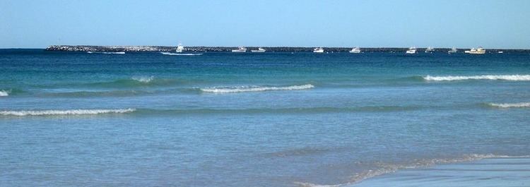
Small wave surfing port macdonnell south australia
Port MacDonnell is the southernmost town in South Australia. The small port located on the Great Australian Bight in the Limestone Coast region about 477 kilometres (296 mi) southeast of Adelaide and 28 kilometres (17 mi) south of Mount Gambier in the District Council of Grant local government area had a population of 623 in the 2006 census.
Contents
- Small wave surfing port macdonnell south australia
- Map of Port Macdonnell SA 5291 Australia
- The customs house b b port macdonnell south australia
- History
- Geography
- Lighthouse
- Governance
- References
Map of Port Macdonnell SA 5291, Australia
Once a busy shipping port, the town now relies heavily on its fishing and summer tourism industries, particularly rock lobster harvest industry, proclaiming itself "Australia's Southern Rock Lobster Capital".
The customs house b b port macdonnell south australia
History
The area was originally inhabited by the Bungandidj Aborigines.
The first Europeans to see the area were led by explorer Lieutenant James Grant in HMS Lady Nelson on 3 December 1800. In 1860 the area was proclaimed an official port, was given a name, and was surveyed. It is named after Sir Richard Graves MacDonnell who was Governor of South Australia from 1855 to 1862.
In the 1880s, it was one of Australia's busiest ports, shipping large quantities of wheat and wool to Europe.
The port was, however, exposed to the weather and the site of many shipwrecks. Across the border in Portland, Victoria, 85 km southeast, is a much more sheltered port.
Geography
The town of Port MacDonnell is set on flat swampy land in a bay between rocky capes of spectacular wave eroded formations the most spectacular being those to the near west at Cape Northumberland. The port's harbour itself is formed by a large artificially constructed rock breakwater, while the coastline is sandy beaches and rock outcrops providing shelter to the port from the rough seas. The rock provides substantial habitat for the southern rock lobster which is the town's main industry and colonies of little penguin.
Lighthouse
Cape Northumberland has a prominent lighthouse which dates to 1882. An earlier 1858 lighthouse was the first in South Australia however was demolished after it was in danger of collapse. A monument marks the site.
Governance
Port MacDonnell is located within the federal division of Barker, the state electoral district of Mount Gambier and the local government area of the District Council of Grant.