
Country United States Elevation 539 m Local time Wednesday 7:29 PM | GNIS feature ID 0471874 Area 92.75 km² Population 36 (2000) | |
 | ||
Weather 5°C, Wind N at 32 km/h, 92% Humidity | ||
Richland Township is a township in Jewell County, Kansas, USA. As of the 2000 census, its population was 36.
Contents
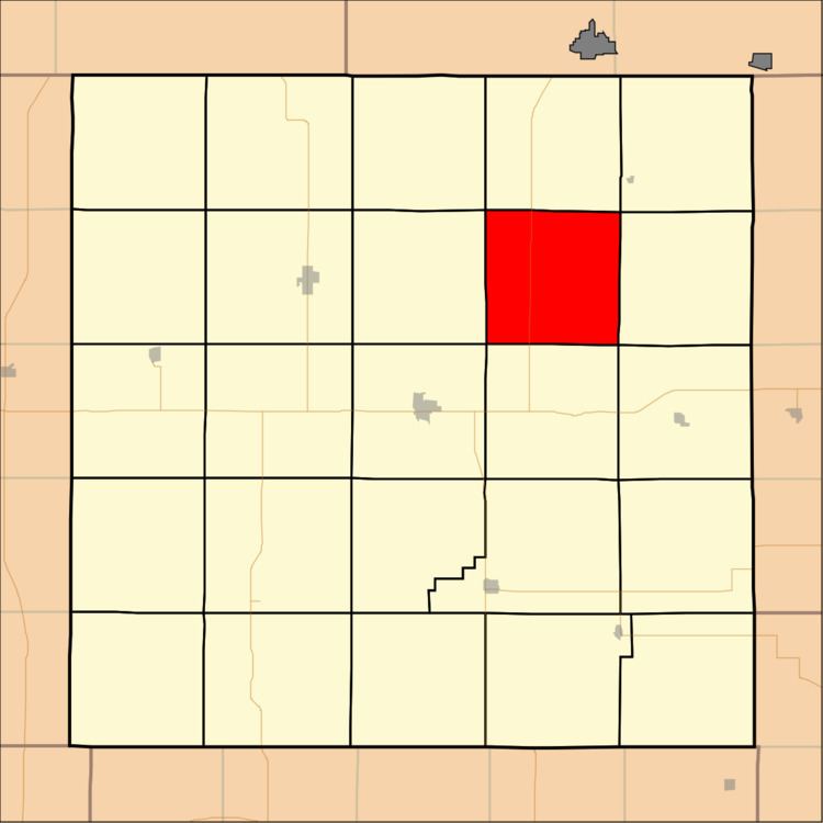
Map of Richland, KS, USA
Geography
Richland Township covers an area of 35.81 square miles (92.75 square kilometers); of this, 3.63 square miles (9.4 square kilometers) or 10.13 percent is water. The streams of Johns Creek, Montana Creek and Taylor Creek run through this township.
Adjacent townships
Cemeteries
The township contains one cemetery, Dahl.
Major highways
References
Richland Township, Jewell County, Kansas Wikipedia(Text) CC BY-SA