
Country United States Elevation 476 m Local time Wednesday 5:42 AM | GNIS feature ID 0471897 Area 91.52 km² Population 67 (2000) | |
 | ||
Weather 3°C, Wind E at 16 km/h, 62% Humidity | ||
Sinclair Township is a township in Jewell County, Kansas, USA. As of the 2000 census, its population was 67.
Contents
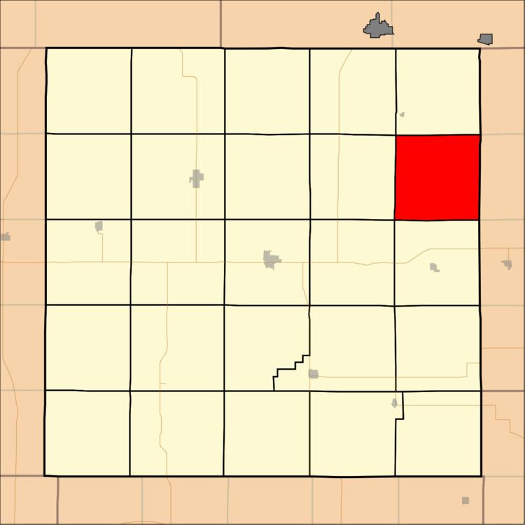
Map of Sinclair, KS, USA
Geography
Sinclair Township covers an area of 35.34 square miles (91.52 square kilometers); of this, 0.99 square miles (2.57 square kilometers) or 2.81 percent is water.
Unincorporated towns
(This list is based on USGS data and may include former settlements.)
Adjacent townships
Cemeteries
The township contains three cemeteries: Fairview, Laurel Hill and Switzers Gap.
References
Sinclair Township, Jewell County, Kansas Wikipedia(Text) CC BY-SA