
Country United States Time zone Central (CST) (UTC-6) FIPS code 29-61562 Zip code 65556 Local time Wednesday 7:33 PM | Area code(s) 573 Elevation 346 m Population 1,876 (2013) | |
 | ||
Weather 19°C, Wind E at 11 km/h, 82% Humidity | ||
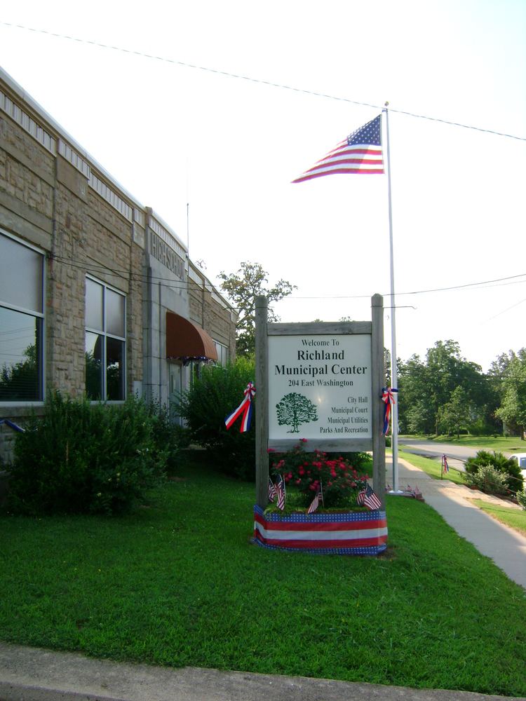
Richland is a city in Camden, Laclede, and Pulaski counties in the U.S. state of Missouri. The population was 1,863 at the 2010 census.
Contents
- Map of Richland MO 65556 USA
- History
- Geography
- 2010 census
- 2000 census
- Transportation
- Media
- School districts
- References
Map of Richland, MO 65556, USA
History
Richland was originally called Lyon, and under the latter name was platted in 1869. The present name is after G. W. Rich, a railroad official. A post office called Richland has been in operation since 1869.
The Calloway Manes Homestead was listed on the National Register of Historic Places in 1980.
Geography
Richland is located at 37°51′32″N 92°24′10″W (37.858875, -92.402788).
According to the United States Census Bureau, the city has a total area of 2.29 square miles (5.93 km2), of which, 2.27 square miles (5.88 km2) is land and 0.02 square miles (0.05 km2) is water.
2010 census
As of the census of 2010, there were 1,863 people, 804 households, and 482 families residing in the city. The population density was 820.7 inhabitants per square mile (316.9/km2). There were 926 housing units at an average density of 407.9 per square mile (157.5/km2). The racial makeup of the city was 94.1% White, 1.1% African American, 0.4% Native American, 0.5% Asian, 0.2% Pacific Islander, 0.6% from other races, and 3.1% from two or more races. Hispanic or Latino of any race were 2.8% of the population.
There were 804 households of which 30.7% had children under the age of 18 living with them, 38.6% were married couples living together, 16.9% had a female householder with no husband present, 4.5% had a male householder with no wife present, and 40.0% were non-families. 35.3% of all households were made up of individuals and 16.3% had someone living alone who was 65 years of age or older. The average household size was 2.27 and the average family size was 2.90.
The median age in the city was 39.6 years. 24.5% of residents were under the age of 18; 8.6% were between the ages of 18 and 24; 22.8% were from 25 to 44; 25.6% were from 45 to 64; and 18.5% were 65 years of age or older. The gender makeup of the city was 47.6% male and 52.4% female.
2000 census
As of the census of 2000, there were 1,805 people, 806 households, and 490 families residing in the city. The population density was 795.7 people per square mile (307.0/km²). There were 932 housing units at an average density of 410.8 per square mile (158.5/km²). The racial makeup of the city was 96.34% White, 0.17% African American, 0.66% Native American, 0.44% Asian, 0.17% Pacific Islander, 0.55% from other races, and 1.66% from two or more races. Hispanic or Latino of any race were 1.55% of the population.
There were 806 households out of which 28.5% had children under the age of 18 living with them, 44.3% were married couples living together, 12.9% had a female householder with no husband present, and 39.1% were non-families. 35.6% of all households were made up of individuals and 17.2% had someone living alone who was 65 years of age or older. The average household size was 2.18 and the average family size was 2.81.
In the city the population was spread out with 24.0% under the age of 18, 6.9% from 18 to 24, 25.4% from 25 to 44, 22.4% from 45 to 64, and 21.2% who were 65 years of age or older. The median age was 40 years. For every 100 females there were 82.3 males. For every 100 females age 18 and over, there were 78.5 males.
The median income for a household in the city was $22,821, and the median income for a family was $30,583. Males had a median income of $25,781 versus $18,527 for females. The per capita income for the city was $14,209. About 17.5% of families and 23.5% of the population were below the poverty line, including 34.6% of those under age 18 and 20.9% of those age 65 or over.
Transportation
Waynesville-St. Robert Regional Airport (Forney Field) serves the community with air service. Even though it is located within Fort Leonard Wood, it is jointly run by the cities of Waynesville and St. Robert and is available for civilian use by private pilots and scheduled commercial passenger service.
An airfield in Richland's industrial park is available for private pilots but has no scheduled commercial service.
The major east-west route is Interstate 44; before that, the main highway was U.S. Route 66, which still exists as a scenic route through the area and passes through Devil's Elbow, St. Robert, Waynesville, Buckhorn, and Hazelgreen. Names for U.S. Route 66 vary - at different places, it is called Teardrop Road, Highway Z, Old Route 66, Historic Route 66, and Highway 17. State-posted signs mark most of the alignment of the road.
Major north-south routes near Richland include:
Media
Pulaski County has one daily and three weekly print newspapers, as well as an online internet daily newspaper. The county also has two internet discussion sites, the Pulaski County Web and Pulaski County Insider.
KFBD-FM and its AM sister station, KJPW, are the dominant news radio providers in the Pulaski County area, which includes Fort Leonard Wood, Waynesville, and St. Robert. These stations compete with the only other station broadcasting from Pulaski County, KFLW Radio, owned by the Lebanon Daily Record [1] and working locally from the St. Robert offices of the Pulaski County Mirror weekly newspaper.
The Daily Guide, commonly known as the Waynesville Daily Guide but based in St. Robert and serving the entire county, is owned by Gatehouse Media and is the central printing plant for three other Gatehouse newspapers in nearby counties, the daily Camden Lake Sun Leader and Rolla Daily News as well as the weekly St. James Leader-Journal.
The content of the weekly Fort Leonard Wood Guidon is produced under the auspices of Army Public Affairs at Fort Leonard Wood but printed under contract by the Springfield News-Leader, a Gannett-owned newspaper which produces and sells advertisements in the Guidon.
The weekly Pulaski County Mirror is owned by the Lebanon Daily Record, a family-owned newspaper in an adjoining county. The paper is a merger of the Richland Mirror and Pulaski County Democrat in St. Robert, which were separate weekly papers owned by the Lebanon Daily Record until their owner merged them in 2009.
The Pulaski County Daily News internet newspaper is privately owned by a Waynesville resident.
The Pulaski County Insider is run and maintained by a businessman from St. Robert and hosted by a Potosi resident.
Pulaski County has a third weekly newspaper, the Dixon Pilot, but it doesn't regularly cover Richland.
School districts
The city of Richland and surrounding rural areas are served by the Richland R-IV School District, which extends into rural parts of adjacent counties.
The Richland High School academic team is known statewide for its 13 Class 2A state titles in the last 14 years. The team has currently won seven in a row. This is the most prolific winning record statewide in this particular competition. The team has been coached by Roger Stephens since the Richland team was created. Assistant Coach Bob Brown has been with the team for eight years. The 2009 State Championship was won after a game with St. Paul Lutheran, in which the score was 280-275.