
Local time Wednesday 9:22 AM | ||
 | ||
Weather 9°C, Wind S at 23 km/h, 99% Humidity | ||
Rhiwfawr is a hamlet of 40 houses in the Swansea Valley, in Neath Port Talbot county borough, Wales.
Contents
Map of Rhiwfawr, Cwmllynfell, Swansea, UK
Location
Most of the hamlet is high upon a ridge overlooking Cwmtwrch and most of the houses are over 900 feet above sea level. The majority of the houses date from the 1930s and were built by the local authority, then Glamorgan, now Neath Port Talbot council to house coal miners for a local colliery that has since been closed and returned to countryside. The village has been described as "a giant family".
Amenities
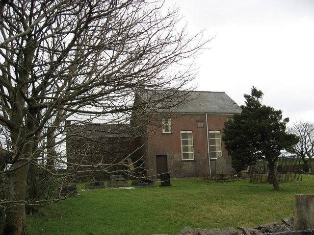
The hamlet has a primary school, a community or village hall, and a small Nonconformist chapel. The road is now used to get to Cwmllynfell or the Gwrhyd mountain which leads to Rhyd-y-fro on the outskirts of Pontardawe.
Rhiwfawr is home to many Welsh language-speakers, mainly due to the Welsh-speaking school in its heart - Ysgol Gynradd Gymraeg Draddodiadol Rhiwfawr (English: Rhiwfawr Traditional Welsh Primary School). The school is attended by 30 - 40 children. The school celebrated its centenary in 2006.
The village also houses a garage and a sweet shop.
A BMX track can be found alongside a wide, grassy rugby union field and a small park. There is a scenic walkway in a field behind the park.
Overlooking the village is the Gwrhyd, which are picturesque mountains housing a road leading as far as Pontardawe.