Population 1,172 (2011 census) Sovereign state United Kingdom Local time Tuesday 1:28 AM | OS grid reference SN747127 Country Wales Postcode district SA9 Dialling code 01639 Post town Swansea | |
 | ||
Weather 3°C, Wind W at 13 km/h, 89% Humidity | ||
Cwmllynfell is the name of a village, community and electoral ward in Neath Port Talbot county borough, Wales.
Contents
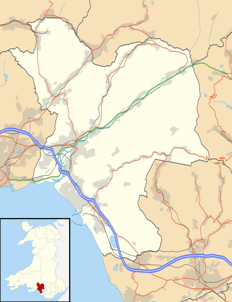
Map of Cwmllynfell, UK
Amenities
Cwmllynfell has its own local rugby union team - Cwmllynfell RFC. Also, a Welsh primary school, supermarket, post office, village hall, church and chapels. Nearby there are the Black Mountains, which supply views to the village.
Electoral ward
The electoral ward consists of some or all of the following areas: Blaen-nant, Bryn-Melyn, Celliwarog, Cwmllynfell, Rhiw-fawr in the parliamentary constituency of Neath. Cwmllynfell is bounded by the wards of Quarter Bach of Carmarthenshire to the northeast; Cwmtwrch of Powys to the east; Ystalyfera to the southeast; Pontardawe to the southwest; Gwaun-Cae-Gurwen to the west and Lower Brynamman to the northwest.
In the 2012 local council elections the turn out was 49.78%. The results were:
