
Burned area 32,606 acres (132 km) Injuries 2 | Date 19 August 2016 | |
 | ||
Similar Chimney Fire, Soberanes Fire, Canyon Fire, Blue Cut Fire, Clayton Fire | ||
Rey fire time lapse video
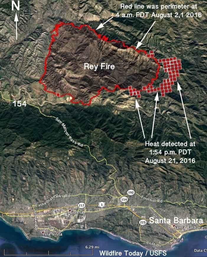
The Rey Fire was a wildfire that is bruned in the area southeast of Lake Cachuma in the range above the Santa Ynez River, Santa Barbara County, California. By the time the fire was contained it had burned 32,606 acres (131.95 km2).
Contents
- Rey fire time lapse video
- Timelapse pyrocumulus clouds formed by the rey fire santa barbara 8 20 16 4kuhd
- Events
- References
Timelapse pyrocumulus clouds formed by the rey fire santa barbara 8 20 16 4kuhd
Events
The fire was first reported at 3:15pm on Thursday August 18, 2016 and by Saturday morning had grown to over 13,224 acres (53.52 km2), nearly quadrupling in size over night. About 300 people were evacuated from their campsites and residences, and on Friday officials let up to 5 groups at a time retrieve personal belongings from their campsites. As of Monday morning, about 1200 firefighters are working on containing the blaze, as well as 11 aircraft. As of Monday morning, the fire has exploded to 23,546 acres and has increased back to 20% containment in 4 days and 14 hours, since it started.
The National Weather Service reported on Saturday that the fire had produced a pyrocloud. This mass of hot air resembles a thunderstorm cloud that can collapse when the air cools down. The wind can manifest as strong gusts at the surface which can exacerbate the fire.
On Sunday night, the fire charred 33,006 Acres and is 54% contained, with very little, if not no growth overnight.
The acreage of the fire was decreased from 33,006 to 32,606 acres (131.95 km2) and is currently at 96% containment, with full containment expected on Monday.
On September 16, the fire was fully contained, having burned 32,606 acres (131.95 km2)