
Country United States Time zone Central (CST) (UTC-6) Zip code 69001 Local time Thursday 9:03 AM | Elevation 2,572 ft (784 m) Area code(s) 308 Population 7,697 (2013) University McCook Community College | |
 | ||
Weather -1°C, Wind W at 2 km/h, 81% Humidity | ||
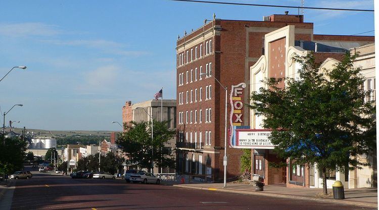
McCook is a city and county seat of Red Willow County, Nebraska, United States. The population was 7,698 at the 2010 census.
Contents
- Map of McCook NE 69001 USA
- History
- Geography
- Climate
- 2010 census
- 2000 census
- Culture
- Government
- Rail
- Air
- Notable people
- References
Map of McCook, NE 69001, USA
History
McCook was platted in 1882 when the Burlington and Missouri River Railroad was extended to that point. It was named in honor of Alexander McDowell McCook, a Brigadier General in the Union Army during the American Civil War.
Geography
McCook is located at 40°12′19″N 100°37′34″W (40.205228, −100.626174). According to the United States Census Bureau, the city has a total area of 5.39 square miles (13.96 km2), all of it land.
Climate
McCook's climate is formally classified as hot-summer humid continental. Due to the very hot and humid summers typical of the Midwest and the January daily mean averaging around −3 °C (27 °F) (the isotherm for being continental) it has significant influence of the humid subtropical climate, lying in the transition zone between the climate types. Winters are generally dry and summers wet.
2010 census
As of the census of 2010, there were 7,698 people, 3,324 households, and 2,021 families residing in the city. The population density was 1,428.2 inhabitants per square mile (551.4/km2). There were 3,717 housing units at an average density of 689.6 per square mile (266.3/km2). The racial makeup of the city was 95.8% White, 0.5% African American, 0.5% Native American, 0.4% Asian, 1.5% from other races, and 1.3% from two or more races. Hispanic or Latino of any race were 4.9% of the population.
There were 3,324 households of which 27.4% had children under the age of 18 living with them, 47.8% were married couples living together, 9.3% had a female householder with no husband present, 3.7% had a male householder with no wife present, and 39.2% were non-families. 33.9% of all households were made up of individuals and 16.7% had someone living alone who was 65 years of age or older. The average household size was 2.25 and the average family size was 2.89.
The median age in the city was 40.7 years. 23% of residents were under the age of 18; 9.4% were between the ages of 18 and 24; 22% were from 25 to 44; 26.2% were from 45 to 64; and 19.5% were 65 years of age or older. The gender makeup of the city was 48.3% male and 51.7% female.
2000 census
As of the census of 2000, there were 7,994 people, 3,371 households, and 2,154 families residing in the city. The population density was 1,485.1 people per square mile (573.7/km²). There were 3,754 housing units at an average density of 697.4 per square mile (269.4/km²). The racial makeup of the city was 97.37% White, 0.18% African American, 0.45% Native American, 0.18% Asian, 0.91% from other races, and 0.91% from two or more races. Hispanic or Latino of any race were 2.53% of the population. The population was 7,410 in 2009.
There were 3,371 households out of which 29.1% had children under the age of 18 living with them, 52.7% were married couples living together, 8.2% had a female householder with no husband present, and 36.1% were non-families. 31.7% of all households were made up of individuals and 15.2% had someone living alone who was 65 years of age or older. The average household size was 2.29 and the average family size was 2.90.
In the city, the population was spread out with 24.1% under the age of 18, 9.7% from 18 to 24, 24.2% from 25 to 44, 21.3% from 45 to 64, and 20.7% who were 65 years of age or older. The median age was 40 years. For every 100 females there were 89.2 males. For every 100 females age 18 and over, there were 86.3 males.
As of 2000 the median income for a household in the city was $31,105, and the median income for a family was $40,455. Males had a median income of $28,065 versus $18,516 for females. The per capita income for the city was $16,691. About 7.9% of families and 9.4% of the population were below the poverty line, including 9.7% of those under age 18 and 8.4% of those age 65 or over.
Culture
The Harvey P. Sutton House at 602 Norris Avenue was designed by influential architect Frank Lloyd Wright in 1905–1907 and built 1907–1908. The classic Prairie-style house is listed in the National Register of Historic Places; it is the only Wright house known to have been built in Nebraska. The house is used as a private residence, and is not open to the public.
McCook hosts the Buffalo Commons Storytelling Festival each summer. There is also the Heritage Day Celebration and the McCook Balloon Fest in September.
McCook Army Airfield, active from 1943 through 1945, was located nine miles northwest of McCook.
McCook hosted a professional baseball team, the McCook Braves, who played in the Nebraska State League from 1956–59. In their final season in 1959, the club featured future Baseball Hall of Famer Phil Niekro and won the NSL championship; both the Braves and the league folded at season's end. Another pitcher on the team, Pat Jordan, later became a writer for the Sporting News, and wrote an autobiography dealing with his career with the Braves, A False Spring.
McCook is home to the first 2-year Junior College in Nebraska, it was founded in September of 1926 on the second floor of the YMCA building on Main Street. The name was eventually changed to McCook Community College and and was governed over the Mid-Plains Area.
Government
McCook has a council-manager style government. Five council members are elected at large; the five elect one of their number as mayor, and a second as vice president. As of 2015, council members are Mayor Mike Gonzales, Vice-President Janet Hepp, Jerry Calvin, Bruce McDowell, and Gene Weedin.
The city government operates through eight departments and offices: Administration, Building and Zoning, Fire, Library, Police, Public Works, Senior Center, and Utilities. Advisory boards and commissions, both those required by law and those created for specific purposes, are appointed by the council; as of 2015, there were fourteen such boards and commissions.
Rail
Amtrak, the national passenger rail system, provides service through McCook, operating its California Zephyr daily in both directions between Chicago and Emeryville (Oakland), California, with stops in Omaha, Lincoln, Hastings.
Air
Commuter airline Boutique Air is currently serving the McCook Regional Airport with daily nonstop round trip commercial flights to Denver, Colorado.
Notable people
George W. Norris, who held seats in the U.S. House of Representatives and Senate from 1903 to 1943, was a resident of McCook. Norris was the driving force behind the conversion of Nebraska's legislature to a unicameral system; in the Senate, he was a leading figure behind the creation of the Tennessee Valley Authority. His house in McCook is operated as a museum by the Nebraska State Historical Society, and is listed in the National Register of Historic Places. Originally named Main, the principal north-south thoroughfare through central McCook was renamed Norris Avenue in his honor.
Three governors of Nebraska made their homes in McCook: Ralph G. Brooks, Frank Morrison, and Ben Nelson, who represented Nebraska in the U.S. Senate for two terms, from 2000–2012. Frank B. Morrison, Jr., Montana Supreme Court justice and son of Frank Morrison, was born in McCook.
John R. McCarl, the first Comptroller General of the United States, was raised in McCook. He is also buried there.
Former professional football player Jeff Kinney is a 1968 graduate of McCook High School.
Actor Stuart Grant, who had parts in several major films including Geronimo: An American Legend and Hot Shots! Part Deux, grew up in McCook.
TV evangelist Bob Larson was raised in McCook.