
Elevation 3,303 m | Prominence 683 m | |
 | ||
Similar Wildgerlosspitze, Wildkarspitze, Dreiherrnspitze, Olperer, Großer Löffler | ||
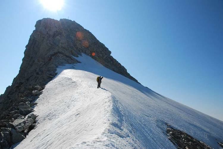
The Reichenspitze is a mountain, 3,303 m (AA), in the eastern Zillertal Alps on the border between the Austrian states of Salzburg and Tyrol. It is the highest peak of the range named after it, the Reichenspitze Group, and offers good, all-round views. Its neighbouring peaks, all linked by arêtes, are the 3,263-metre-high Gabler to the northeast, the Richterspitze (3,052 m) to the south and the 3,278-metre-high Wildgerlosspitze to the northwest.
Contents
Map of Reichenspitze, 5743, Austria
First ascentEdit
The mountain was first ascended in 1856 by a farmer from Prettau in the valley of Tauferer Ahrntal, whose name has been lost. He climbed from the southeast up the east face, a route that, today, is assessed near the summit as climbing grade UIAA III. The first touristic ascent took place on 16 July 1865 by Peter Haller from Gmünd and foresters, Anton Peer and Josef Unterrainer of Schönachtal.
RoutesEdit
An ascent of the summit may be launched from the Plauener Hut (2,373 m), the Richter Hut (2,374 m) or the Zittauer Hut (2,328 m).