
Time zone BRT/BRST (UTC-3/-2) | Elevation 730 m (2,400 ft) Local time Sunday 11:24 AM | |
 | ||
Metrop. region Vale do Paraíba e Litoral Norte Weather 23°C, Wind S at 8 km/h, 63% Humidity | ||
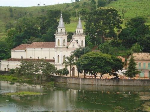
Cidade velha de reden o da serra
Redenção da Serra (Portuguese for Redemption of the mountains) is a municipality (município) in the eastern part of the state of São Paulo in Brazil. It is part of the Metropolitan Region of Vale do Paraíba e Litoral Norte. The population is 3,930 (2015 est.) in an area of 309.44 km². The elevation is 730 m.
Contents
- Cidade velha de reden o da serra
- Map of RedenC3A7C3A3o da Serra State of SC3A3o Paulo Brazil
- History
- References
Map of Reden%C3%A7%C3%A3o da Serra - State of S%C3%A3o Paulo, Brazil
The municipality contains part of the 292,000 hectares (720,000 acres) Mananciais do Rio Paraíba do Sul Environmental Protection Area, created in 1982 to protect the sources of the Paraíba do Sul river.
History
The modern history of Redenção da Serra goes back to the start of the nineteenth century. As the gold mines of Minas Gerais became depleted the focus of the Brazilian economy shifted towards the Paraíba Valley and the production of coffee. The growth of the coffee monoculture drove rapid economic growth, leading to expansion and prosperity for a number of urban centers such as Taubaté, Pindamonhangaba, Guaratinguetá, Lorena and Bananal.