
Postal code 12600-000 to 12614-999 Elevation 524 m Local time Monday 12:30 AM | Region Southeast Brazil Founded 1788 Area 414.2 km² Population 87,178 (2015) | |
 | ||
Metropolitan Region Vale do Paraíba e Litoral Norte Weather 24°C, Wind NE at 5 km/h, 73% Humidity | ||
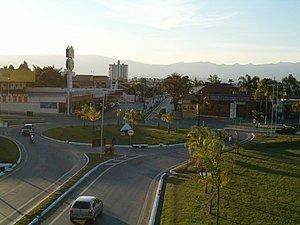
Lorena is a municipality in the state of São Paulo in Brazil.
Contents
Map of Lorena, State of S%C3%A3o Paulo, Brazil
General
Lorena is part of the Metropolitan Region of Vale do Paraíba e Litoral Norte. The population is 87,178 (2015 est.) in an area of 414.16 km². The elevation is 524 m.
The city was originated when a farm was constructed at the end of the 17th century. It became a parish in 1718, a municipality in 1788 and is a city since 1856. The city is now the seat of the Roman Catholic Diocese of Lorena. Its main business areas are industry, services and agro-business. It is also a highlight in region due to its three colleges, including areas from human to exact sciences.
The municipality contains the 281 hectares (690 acres) Lorena National Forest, created in 1934.
Demographics
According to the 2010 IBGE Census, the population was 82,553, of which 80,182 are urban and 2,371 are rural. The average life expectancy for the municipality was 70.64 years. The literacy rate was at 94.13%.