
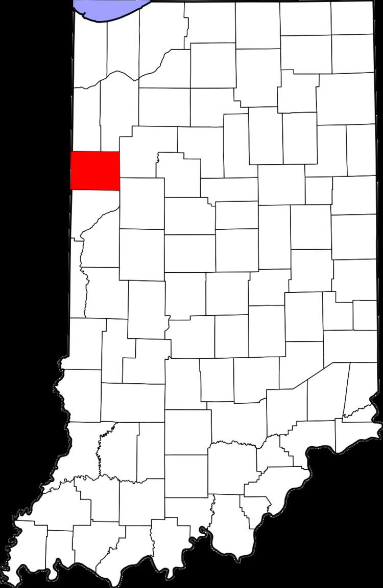
Country United States County Benton FIPS code 18-63072 Elevation 223 m Local time Saturday 12:05 AM | State Indiana Township York GNIS feature ID 441790 Zip code 47942 | |
 | ||
Weather 15°C, Wind S at 16 km/h, 77% Humidity | ||
Raub is an unincorporated community in York Township, Benton County, Indiana. It is part of the Lafayette, Indiana Metropolitan Statistical Area.
Contents
Map of Raub, York Township, IN 47942, USA
History
Raub was laid out by merchant and livestock-dealer Adams D. Raub on April 8, 1872 near the railroad which had been completed through the area the previous year. Originally consisting of 71 lots, its first house was that of Ira Perkins (which predated the railroad), followed by that of A. Houser in the fall of 1871. At about the same time, Raub gained its first store, a business selling groceries and notions, and in 1873 got a general store operated by Samuel White. A hardware store, drug store, saloon, doctor's office, grain elevator, blacksmith, and various other establishments followed over the next decade.
A post office was established at Raub in 1872, and remained in operation until it was discontinued in 1967.
Geography
Raub is located at 40°43′48″N 87°29′30″W in York Township, at the intersection of Indiana State Road 71 and the Kankakee, Beaverville and Southern Railroad. The site is half a mile from the border with Newton County and is surrounded by relatively flat, open farmland.