
Time zone IST (UTC+5:30) Telephone code 03192 Local time Friday 8:04 PM | PIN 744205 Area code 03192 | |
 | ||
Weather 26°C, Wind N at 6 km/h, 74% Humidity | ||
Rangat is a town on the Middle Andaman Island, Andaman Archipelago. It is also one of the three counties (tehsils) administrative divisions of the North and Middle Andaman district, in the Andaman and Nicobar Islands union territory of India. Its population, according to the 2001 Census of India, was 38,824 people, mainly of Bengalis and Tamils.
Contents
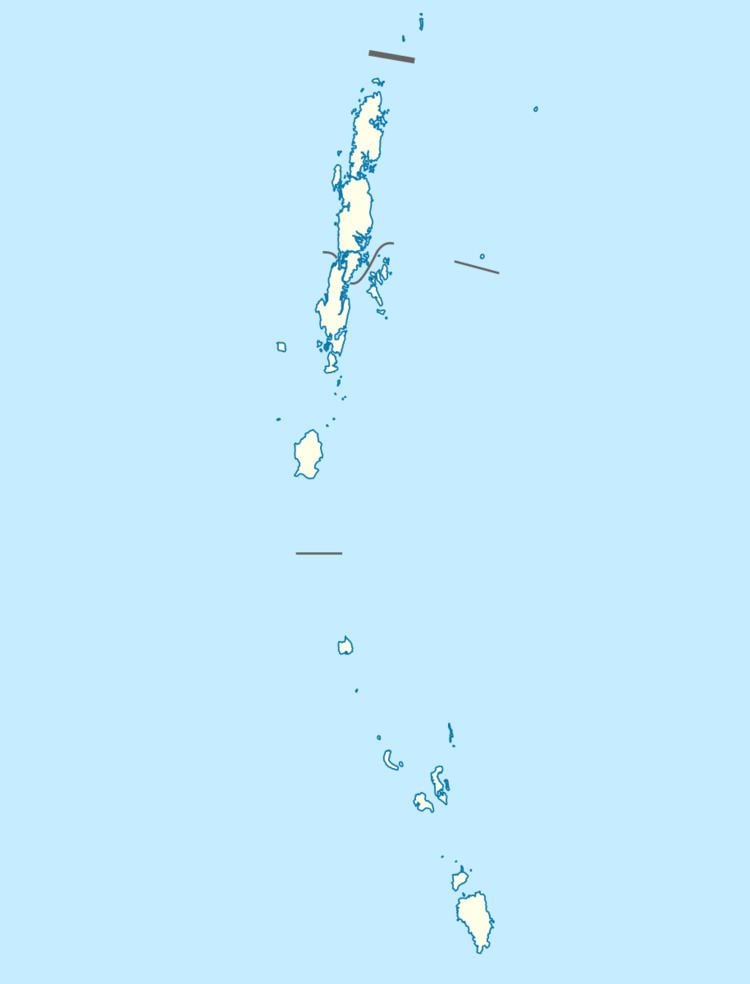
Map of Rangat, Andaman and Nicobar Islands 744205
Rangat is 210 km from Port Blair and 70 km south of Mayabunder. The town is well connected by road and sea routes.
Tourism
The town has been described as a "ramshackle sprawl around two rows of chai shops and general stores divided by the ATR [ Andaman Trunk Road ]." Some nearby tourist attractions are Amkunj Beach (8 km away) Dhani Nallah located at out skirts of Rangat and Cutbert Bay Beach (18 km away). The latter is an important turtle nesting ground, especially from December to February.
Villages
As of July 2012, Rangat county included the following villages (panchayats):