
Country New Zealand Territorial Authority Time zone NZST (UTC+12) Local time Saturday 3:34 AM | Region Manawatu-Wanganui Postcode 4691 Area code 06 | |
 | ||
Weather 14°C, Wind W at 10 km/h, 99% Humidity | ||
Rangataua is a small village in the North Island of New Zealand. It is located at the southern end of both the Tongariro National Park and Rangataua State Forest, adjacent to the southwestern slopes of the active volcano Mount Ruapehu. Part of the Manawatu-Wanganui region, the town is 5 kilometres east of Ohakune, 75 kilometres northeast of Wanganui, and 20 kilometres west of Waiouru.
Contents
Map of Rangataua 4691, New Zealand
The town's population is 1344 (2006 census). This number includes the region immediately around Rangataua, with the exception of Ohakune, Raetihi and Waiouru. A reasonable estimate of the actual population of the village itself is 50 permanent inhabitants. The village's permanent population work in the nearby region with much of the seasonal population working at the Turoa Skifield.
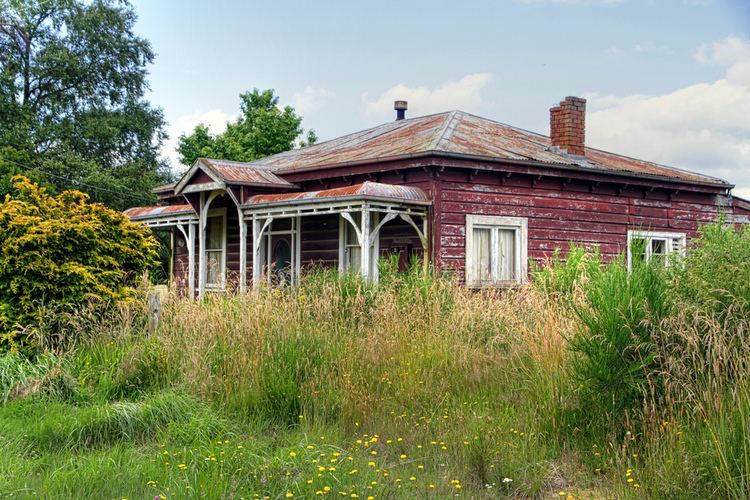
Rangataua contains many properties that are owned as holiday villas or baches usually used for skiing at the nearby Turoa Skifield.
Transportation
State Highway 49 runs immediately adjacent to the village, as does the North Island Main Trunk Railway. There is no station and all passenger rail traffic uses the railway station at Ohakune.
History
The name Rangataua comes from two Māori words: Ranga - to parade in ranks; to fall in, and taua - war party. Rangataua was the site of a Māori village. In the mid seventeenth century this village was attacked and subsequently destroyed. The survivors of the attack established a Pā on the site of present-day Ohakune.
The Raetihi Forest Fire of March 19–20, 1918 almost destroyed Rangataua. Many houses and sawmills were burnt down. Fires had previously threatened the town in January 1914.
Conservation areas
To the immediate east of the village is the 6710 hectare Rangataua Conservation Area, which is contiguous with the UNESCO World Heritage Site Tongariro National Park on its northern boundary. Rangataua is bounded to the north by the 58 hectare Rangataua Scenic Reserve, and to the immediate southeast by the 77 hectare Mangaehuehu Scenic Reserve.