
Time zone Eastern (EST) (UTC-5) Elevation 12 m | ZIP code 08054 Local time Friday 8:06 AM | |
 | ||
Weather 0°C, Wind S at 10 km/h, 74% Humidity | ||
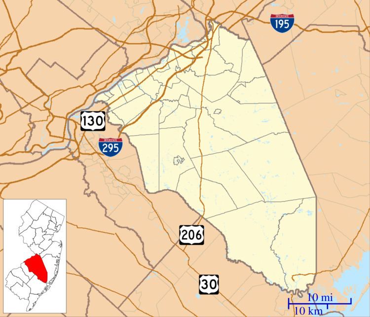
Rancocas Woods is an unincorporated community located within Mount Laurel Township in Burlington County, New Jersey, United States.
Contents
Map of Rancocas Woods, Mt Laurel, NJ 08054, USA
The community was developed on the site of an amusement park. Houses in Rancocas Woods were first built in the 1930s. There were problems with the community when first developed. No sewers were installed, because of limited drainage, which caused floods to occur during heavy rainstorms. The water pressure from fire hydrants was unsubstantial—the volunteer fire department had to pump its water from the nearby Rancocas Creek.
Location
Rancocas Woods is located on the Rancocas Creek, a major river that empties into the Delaware River. Exit 43 on Interstate 295 can be used to access Rancocas Woods. There is no exit on the New Jersey Turnpike, however, the nearest interchanges to Rancocas Woods are interchange 4 (Route 73 – Mount Laurel) and interchange 5 (County Route 541 – Burlington, Mount Holly).
Transportation
New Jersey Transit provides bus service to and from Philadelphia on the 413 route.