
Population 12,000 (2012) | ||
 | ||
ramaul wali best dialogue jehne saus tehne putauh
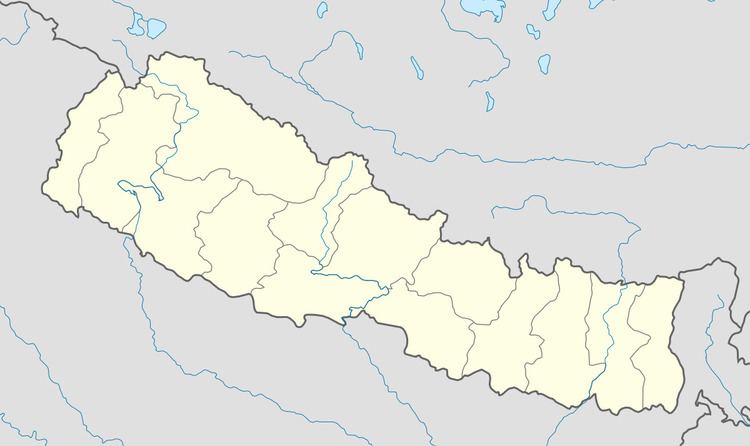
Siraha Ramaul is a municipality in Siraha District in the Sagarmatha Zone of south-eastern Nepal. It is surrounded by Makhanaha from east side, Basbita from north side, Manpur from west side and Marar from south side. At the time of the 1991 Nepal census it had a population of 5000 people living in 400 individual households. Before it was under the Village development committee, of Siraha Nepal in 1991 Nepal census. Now it lies under the Siraha Municipality-3,4,and 5. It is divided into four areas (Tolas): Purab Tola (East Area), Uttar Tola (North Area), Paschim Tola (West Area), and Dakshin Tola (South Area). It is a Muslim-dominated village with a population of 12,000. Most of the houses in this village are cemented ones. It has Five Madrasah, in which Islamic teaching is taught, two private schools, of which one is secondary school and the other is lower secondary school, two government schools. It has Nine Masjid (Mosque). It is 3 kilometres (1.9 mi) from Siraha headquarters. The Kamla River, which flows from Nepal to India touches Ramaul from the West Area.