
Zone Sagarmatha Time zone NST (UTC+5:45) Elevation 80 m | Development Region Eastern District Siraha Postal code 56500 (D.P.O.) Population 28,442 (2011) | |
 | ||
Neighborhoods Basbitta, Paterwa, Charapatti, Ishwornagar, Mahisotha | ||
Siraha (Nepali: सिराहा, sirāhā) is the headquarters of Siraha District, a part of Sagarmatha Zone, Nepal. Siraha had a population of 28,442 according to the census of 2011. The town is at 80 metres (260 ft) altitude, 29 kilometres (18 mi) ESE of Janakpur.
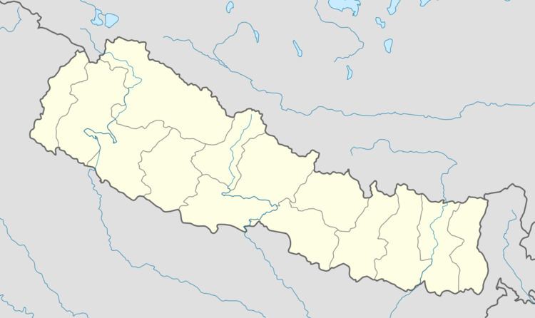
Map of Siraha, Nepal
References
Siraha Wikipedia(Text) CC BY-SA