Width .12 km (0.075 mi) | Length .35 km (0.217 mi) Population 0 | |
 | ||
Raklitsa Island (Bulgarian: остров Раклица, ‘Ostrov Raklitsa’ \'os-trov 'ra-kli-tsa) is the rocky island in Boisguehenneuc Bay lying 650 m off the northwest coast of Liège Island in the Palmer Archipelago, Antarctica. The island is 350 m long in east-west direction and 120 m wide.
Contents
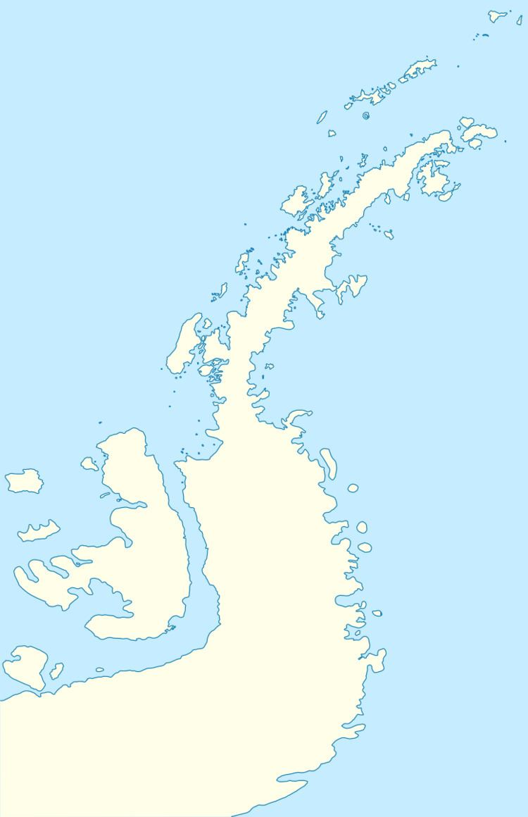
Map of Raklitsa Island, Antarctica
The island is named after the settlement of Raklitsa in Southeastern Bulgaria.
Location
Raklitsa Island is located at 63°58′43″S 61°51′16″W, 2.7 km southwest of Moureaux Point and 5.38 km east-northeast of Bebresh Point. British mapping in 1978.
Maps
References
Raklitsa Island Wikipedia(Text) CC BY-SA
