
 | ||
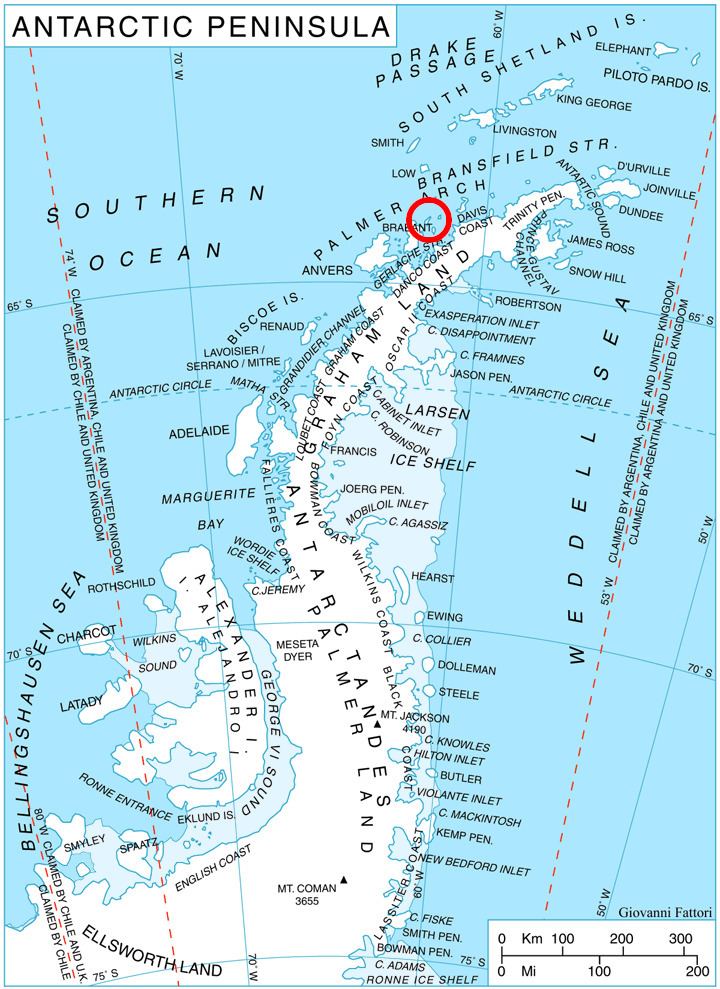
Bebresh Point (Bulgarian: нос Бебреш, ‘Nos Bebresh’ \'nos 'be-bresh) is a point projecting 1.3 km from the northwest coast of Liège Island in the Palmer Archipelago, Antarctica forming the north side of the entrance to Palakariya Cove and the west side of the entrance to Boisguehenneuc Bay. Situated 7.7 km southwest of Moureaux Point and 11.3 km north-northeast of Chauveau Point.
Contents
The point is named after the settlement of Bebresh in northern Bulgaria.
Location
Bebresh Point is located at 63°59′36″S 61°57′33″W. British mapping in 1978.
Map
References
Bebresh Point Wikipedia(Text) CC BY-SA