
Country United States GNIS feature ID 453468 Area 57.19 km² Population 549 (2010) | ZIP codes 46366, 46534 Elevation 204 m Local time Friday 10:00 PM | |
 | ||
Weather 3°C, Wind S at 6 km/h, 82% Humidity | ||
Jackson Township is one of nine townships in Starke County, in the U.S. state of Indiana. As of the 2010 census, its population was 549 and it contained 222 housing units.
Contents
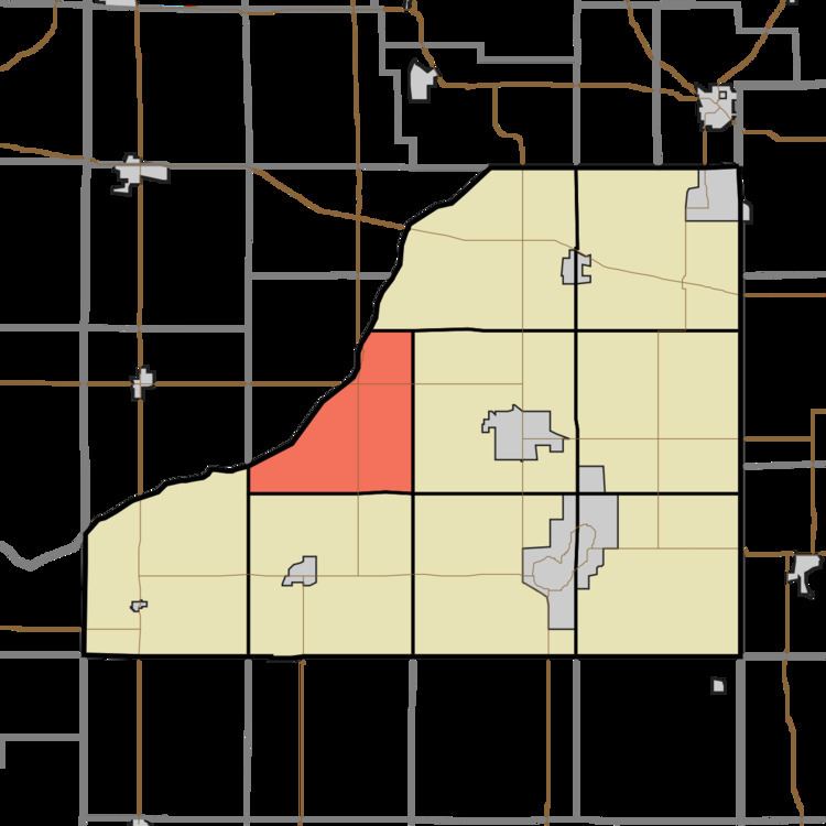
- Map of Jackson Township IN USA
- Geography
- Adjacent townships
- Major highways
- School districts
- Political districts
- References
Map of Jackson Township, IN, USA
Geography
According to the 2010 census, the township has a total area of 22.08 square miles (57.2 km2), of which 22.07 square miles (57.2 km2) (or 99.95%) is land and 0.01 square miles (0.026 km2) (or 0.05%) is water.
Adjacent townships
Major highways
School districts
Political districts
References
Jackson Township, Starke County, Indiana Wikipedia(Text) CC BY-SA