
Country India | Time zone IST (UTC+5:30) Area 466.3 km² | |
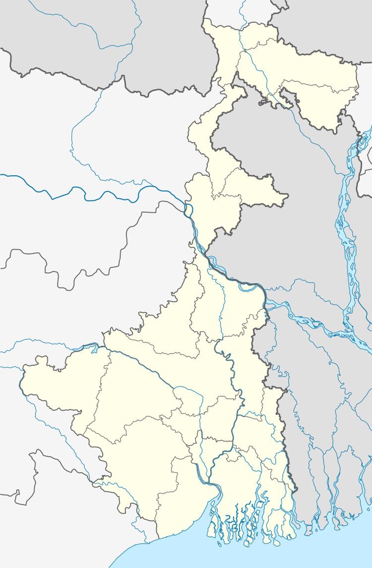 | ||
Vidhan Sabha constituency Raiganj, Hemtabad, Kaliaganj | ||
Raiganj (community development block) is an administrative division in Raiganj subdivision of Uttar Dinajpur district in the Indian state of West Bengal. Raiganj police station serves this block. Headquarters of this block is at Raiganj. Nachhratpur Katabari and Kasba are two census towns in this block.
Contents
Geography
Raiganj is located at 25°37′N 88°07′E.
Raiganj community development block has an area of 466.26 km2.
Gram panchayats
Gram panchayats of Raiganj block/ panchayat samiti are:Bahin, Baruna, Bhatun, Bindole,11 NO Birghoi, Gouri, Jagadishpur, Kamalabari I, Kamalabari II, Mahipur, Maraikura, Rampur, Sherpur and Sitgram.
Demographics
As per 2011 Census of India Raiganj CD Block had a total population of 430,221 of which 414,143 were rural and 16,078 were urban. There were 221,738 males and 208,483 females. Scheduled Castes numbered 163,662 and Scheduled Tribes numbered 27,785.
Literacy
As per 2011 census the total number of literates in Raiganj CD Block was 234,192 out of which 133,461 were males and 100,731 were females.