
Country India Area 299.9 km² | Time zone IST (UTC+5:30) | |
 | ||
Banibandana tnkhs 2017 kaliyaganj uttar dinajpur raiganj
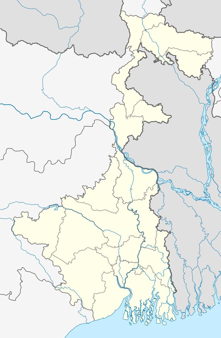
Kaliaganj (community development block) is an administrative division in Raiganj subdivision of Uttar Dinajpur district in the Indian state of West Bengal. Kaliaganj police station serves this block. Headquarters of this block is at Kaliaganj.
Contents
- Banibandana tnkhs 2017 kaliyaganj uttar dinajpur raiganj
- Geography
- Gram panchayats
- Demographics
- Literacy
- References
Geography
Kaliaganj is located at 25°38′N 88°19′E.
Kaliaganj community development block has an area of 299.92 km2.
Gram panchayats
Gram panchayats of Kaliaganj block/ panchayat samiti are: Anantapur, Baruna, Bhandar, Bochadanga, Dhankoil, Malgaon, Mostafanagar and Radhikapur.
Demographics
As per 2011 Census of India Kaliaganj CD Block had a total population of 224,142 all of which were rural. There were 115,104 males and 109,038 females. Scheduled Castes numbered 138,461 and Scheduled Tribes numbered 12,675.
Literacy
As per 2011 census the total number of literates in Kaliyaganj CD Block was 129,417 out of which 74,657 were males and 54,760 were females.