
Country India Telephone/STD code 03485 Area 99.77 km² Area code 03485 | Time zone IST (UTC+5:30) Elevation 31 m Population 265,336 (2011) | |
 | ||
PIN 742213 (Jangipur)742230 (Giria)742303 (Dumkal) | ||
Raghunathganj II is a community development block that forms an administrative division in Jangipur subdivision of Murshidabad district in the Indian state of West Bengal. Raghunathganj police station serves this block. Headquarters of this block is at Jangipur. It is located 54 km from Baharampur, the district headquarters.
Contents
Location
Jot Kamal, a census town in Raghunathganj II block, is located at 24°28′N 88°06′E
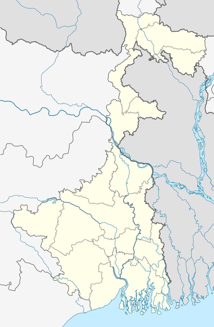
Raghunathganj II CD Block is bounded by Suti I and Suti II CD Blocks in the north, Lalgola CD Block and Chapai Nawabganj District of Bangladesh, across the Ganges, in the east, Sagardighi CD Block in the south and Raghunathganj I CD Block in the west.
Area
Raghunathganj II community development block has an area of 99.77 km2.
Physical features
The Bhagirathi divides the district into two parts namely Bagri on the east and Rahr on the west. The Padma separates the district from Malda district, and Chapai Nawabganj and Rajshahi districts of Bangladesh.
Gram panchayats
Gram panchayats in Raghunathganj II block/ panchayat samiti are: Barashimul Dayarampur, Giria, Jotekamal, Kashiadanga, Laxmijola, Mithipur, Sammatinagar, Sekendra, Sekhalipur and Teghari I.
Population
As per 2011 Census of India Raghunathganj II CD Block had a total population of 265,336, of which 131,236 were rural and 134,100 were urban. There were 135,723 (51%) males and 129,613 (49%) females. Population below 6 years numbered 46,739. Scheduled Castes numbered 23,242 and Scheduled Tribes numbered 86.
As per 2001 census, Raghunathganj II block has a total population of 192,505, out of which 94,325 were males and 98,180 were females. Raghunathganj II block registered a population growth of 24.14 per cent during the 1991-2001 decade. Decadal growth for the district was 23.70 per cent.Decadal growth in West Bengal was 17.84 per cent.
Census towns and large villages
Census towns in Raghunathganj II CD Block were (2011 population figures in brackets): Giria (17,131), Mithipur (15,260), Jot Kamal (7,685), Osmanpur (10,512), Sahajadpur (23,280), Khodarampur (7,277), Donalia (6,081), Teghari (25,058), Krishna Sali (10,742) and Bara Jumla (11,074).
Large villages in Raghunathganj II CD Block were (2011 population figures in brackets): Lal Khandiar (1,223), Giria Kismat (7,153), Sekendara (21,668), Mukundapur (4,009), Jot Sundar (4,207), Putia (4,984), Kul Gachhi (11,292), Jamra (4,692), Bahara (12,862), Kasia Danga (14,025) and Dighir Pahar (4,468).
Literacy
As per 2011 census the total number of literates in Raghunathganj II CD Block was 133,722 (61.17% of the population above 6 years) out of which 72,489 (54%) were males and 61,233 (46%) were females.
As per 2011 census, literacy in Murshidabad district was 66.59.Literacy in West Bengal was 77.08% in 2011.Literacy in India in 2011 was 74.04%.
Language
Bengali is the local language in these areas.
Healthcare
Raghunathganj II block is one of the areas where ground water is affected by arsenic contamination.