
 | ||
South end: | ||
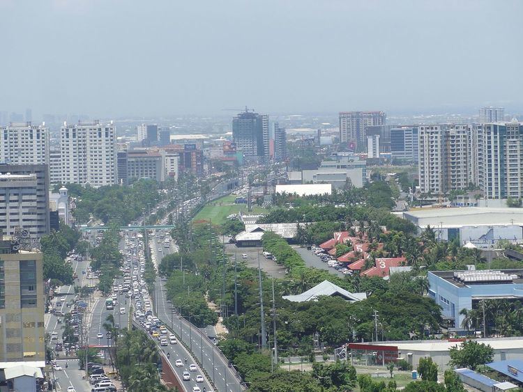
Radial Road 1, more commonly referred to as R-1, is a 41.5-kilometre (25.8 mi) long network of roads and bridges that altogether form the first arterial road of Manila in the Philippines. The road runs north-south linking the City of Manila to the Metro Manila cities of Pasay, Parañaque and Las Piñas, down to Bacoor, Imus, Kawit, Noveleta, General Trias, Tanza and Naic in the province of Cavite.
Contents
- Map of R 1 Philippines
- Route
- Bonifacio Drive
- Roxas Boulevard
- ManilaCavite Expressway
- Antero Soriano Highway
- References
Map of R-1, Philippines
Route
The road consists of the following segments from north to south:
Bonifacio Drive
Between its northern terminus at Roxas Bridge (formerly Del Pan Bridge) and Padre Burgos Avenue, R-1 is known as Bonifacio Drive. It serves the districts of Intramuros and Port Area and meets Roxas Boulevard in Rizal Park.
Roxas Boulevard
R-1 becomes Roxas Boulevard after intersecting with Padre Burgos Avenue. This section of R-1 in Rizal Park is marked as Kilometer 0. It is a waterfront promenade which leads out of Ermita and Malate in the City of Manila into Pasay and Parañaque. Roxas Boulevard ends at the junction with NAIA Road.
Manila–Cavite Expressway
Between NAIA Road and Antero Soriano Highway in Kawit, Cavite, R-1 is known as the Manila–Cavite Expressway (also known as Coastal Road or CAVITEx). This tollroad connects Parañaque with Las Piñas and leaves Metro Manila for Bacoor and Kawit in the province of Cavite.
Antero Soriano Highway
R-1 is known as the Antero Soriano Highway from the CAVITEx terminus in Kawit to Governor's Drive in Naic. It connects the Cavite municipalities of Imus, Noveleta, Tanza, Cavite and General Trias in the Manila Bay coast of Cavite.