
Length 130.5 km | Province Québec | |
 | ||
Major cities | ||
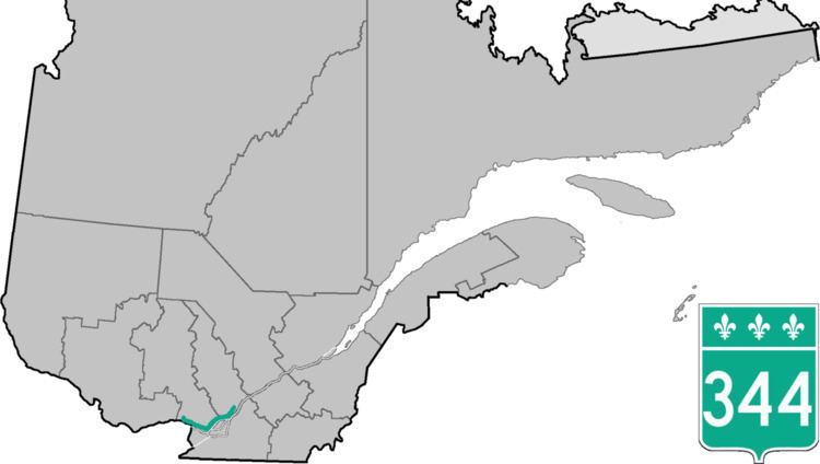
Route 344 is an east/west highway on the north shore of the Ottawa River in Quebec, Canada. Its western terminus is in Grenville-sur-la-Rouge at the junction of Autoroute 50, and its eastern terminus is in L'Assomption at the junction of Route 343. It follows the Ottawa River from Grenville-sur-la-Rouge to Saint-André-d'Argenteuil, where it follows the Lac des Deux Montagnes until Deux-Montagnes, where it follows the Rivière des Mille Îles until Repentigny, where it follows the Rivière l'Assomption until L'Assomption.
Contents
Map of QC-344, Qu%C3%A9bec, Canada
Municipalities along Route 344
References
Quebec Route 344 Wikipedia(Text) CC BY-SA