Girish Mahajan (Editor)

Quebec Route 263

Updated on
Edit
Like
Comment
Share on FacebookTweet on TwitterShare on LinkedInShare on Reddit
North end:
  
east of Becancour

Province
  
Québec

Length
  
220 km

Quebec Route 263

South end:
  
in Saint-Augustin-de-Woburn

Major cities
  
Princeville, Disraeli, Quebec

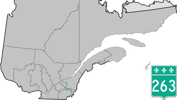
Route 263 is a two-lane north/south highway on the south shore of the Saint Lawrence River in Quebec, Canada. Its northern terminus is in the community of Gentilly, part of Bécancour at the junction of Route 132, and the southern terminus is at the junction of Route 161 close to Saint-Augustin-de-Woburn.

Contents

Map of Rte 263, Qu%C3%A9bec, Canada

List of towns along Route 263

  • Sainte-Marie-de-Blandford
  • Lemieux
  • Saint-Louis-de-Blandford
  • Princeville
  • Saint-Norbert d'Arthabaska
  • Norbertville
  • Sainte-Hélène-de-Chester
  • Chester-Est
  • Saint-Fortunat
  • Saint-Jacques-le-Majeur-de-Wolfestown
  • Disraeli
  • Sainte-Praxède
  • Saint-Romain
  • Lambton
  • Saint-Sébastien-de-Frontenac
  • Sainte-Cécile-de-Whitton
  • Marston
  • Piopolis
  • Saint-Augustin-de-Woburn
  • References

    Quebec Route 263 Wikipedia