
Length 53.1 km Major cities La Pocatière | Province Québec | |
 | ||
East end: Saint-Alexandre-de-Kamouraska | ||
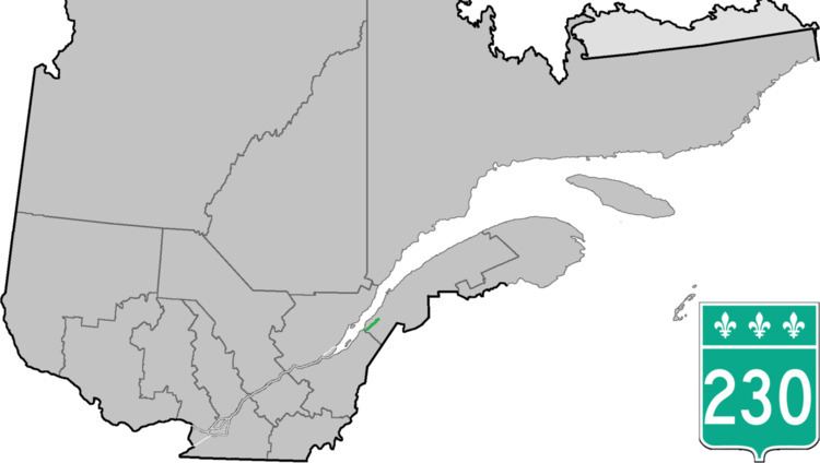
Route 230 is a two-lane east/west provincial highway on the south shore of the Saint Lawrence River in the Bas-Saint-Laurent region of Eastern Quebec, Canada. Its eastern terminus is in Saint-Alexandre-de-Kamouraska east of the junction of Route 289 and the western terminus is at the junction of Route 132 in La Pocatière.
Contents
Map of QC-230, Qu%C3%A9bec, Canada
Municipalities along Route 230
References
Quebec Route 230 Wikipedia(Text) CC BY-SA