
Length 94.8 km Major cities Pohenegamook | Province Québec | |
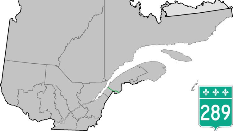 | ||
North end: Route 132 near Saint-Andre | ||
Route 289 is a two-lane north/south highway on the south shore of the Saint Lawrence River in the Bas-Saint-Laurent region of eastern Quebec, Canada. Its northern terminus is in Saint-André at the junction of Route 132 and the southern terminus is at the border of New Brunswick where it continues as Route 120.
Contents
Map of QC-289, Qu%C3%A9bec, Canada
Route 289 is also designated as the "route des Frontières" tourism highway.
List of towns along Route 289
References
Quebec Route 289 Wikipedia(Text) CC BY-SA