
Length 129.2 km | Province Québec | |
 | ||
East end: | ||
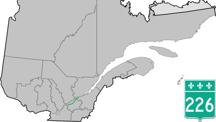
Route 226 is a two-lane east/west highway in Quebec, Canada. Its western terminus is at the junction of Route 132 in Pierreville and its eastern terminus is in Sainte-Croix at the junction of Route 271.
Contents
Map of QC-226, Qu%C3%A9bec, Canada
Route 226 is an exclusively rural highway going through very small villages in the Chaudière-Appalaches and mostly in the Centre-du-Québec regions. The biggest village along the way is Saint-Édouard-de-Lotbinière, with 1,200 people.
Municipalities along Route 226
References
Quebec Route 226 Wikipedia(Text) CC BY-SA