
Length 69.8 km | Province Québec | |
 | ||
Counties: Le Haut-Saint-Laurent / Beauharnois-Salaberry / Vaudreuil-Soulanges | ||
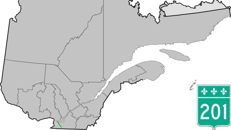
Route 201 is a north/south provincial highway within the Canadian province of Quebec, running between Route 202 in Franklin (near the Canada–US border) and Route 342 in Rigaud. Its total length is approximately 70 kilometres.
Contents
Map of Rte 201, Qu%C3%A9bec, Canada
Route 201 links Salaberry-de-Valleyfield with Autoroute 20 using the Monseigneur Langlois Bridge to cross the Saint Lawrence River. It is among the four primary or secondary highways to cross the Saint Lawrence River and is the only 200 series highway to be partly north of that river.
Municipalities along Route 201
References
Quebec Route 201 Wikipedia(Text) CC BY-SA