
Length 67.3 km | Province Québec | |
 | ||
North end: A-20 (TCH) in Saint-Louis-de-Blandford Counties: Les Appalaches / L'Érable / Arthabaska | ||
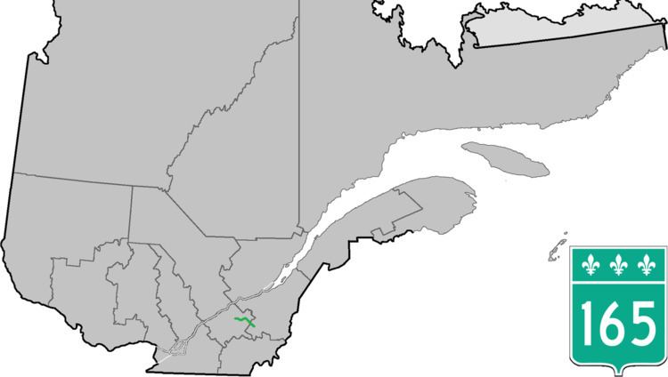
Route 165 is a 68 km north/south highway on the south shore of the Saint Lawrence River in Quebec, Canada. Its southern terminus is in Black Lake, now part of Thetford Mines, at the junction of Route 112 and its northern terminus is in Saint-Louis-de-Blandford at the junction of Autoroute 20. The stretch between Plessisville and Black Lake used to be Route 265 but it was re-numbered Route 165 in the 1990s.
Contents
Map of QC-165, Qu%C3%A9bec, Canada
Municipalities along Route 165
References
Quebec Route 165 Wikipedia(Text) CC BY-SA