
Settled 1797 Time zone EST (UTC−5) Area 27 km² Local time Tuesday 6:47 AM | Constituted June 25, 1929 Postal code(s) J0E 1B0 Population 391 (2011) Province Québec | |
 | ||
Weather -3°C, Wind W at 0 km/h, 89% Humidity RCMs Montérégie, Brome-Missisquoi Regional County Municipality | ||
Abercorn is a village in the Brome-Missisquoi Regional County Municipality in the Montérégie region of Québec, Canada. The population as of the Canada 2011 Census was 391.
Contents
Map of Abercorn, QC, Canada
It is bordered by the larger township of Sutton to the north and east, by Frelighsburg to the west, and the town of Richford, Vermont in the United States to the south.
History
Thomas Spencer built the first log cabin near Abercorn in 1792. The village was originally called Sheppard’s Mills in honour of Thomas Sheppard, a New Hampshire loyalist who built the area's first grain and saw mill. Originally part of Sutton, Abercorn was established as a township in 1929.
Geography
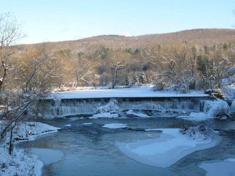
The village is located on the northern edge of the Green Mountains in the Sutton Valley, flanked to the west by the Pinnacle and to the east by the Sutton Mountain range. The Sutton river runs through the valley, as does Route 139 and the Montreal, Maine and Atlantic Railway.
Located about 105 km from Montréal via Autoroute 10 and near the ski hills of Mount Sutton, Bromont, Jay Peak, Vermont, and Mont Owl's Head, Abercorn is a popular day trip and vacation spot for Montrealers.
Population
Population trend:
Language
Home language (2006)