
Length 21.4 km | Province Québec | |
 | ||
Major cities Montreal, Longueuil, Brossard, La Prairie, Candiac | ||
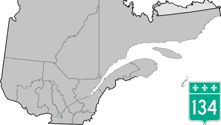
Route 134 is a highway in the province of Quebec, running from Candiac on the South Shore of the Saint Lawrence River to Montreal, crossing the river on Jacques Cartier Bridge. On the South Shore, Route 134 is named Taschereau Boulevard (boulevard Taschereau), after the prominent Quebec family that included former premier Louis-Alexandre Taschereau. From Jacques Cartier Bridge to the end of the highway at Sherbrooke Street (Quebec Route 138) in Montreal, the highway is a one-way pair formed by Papineau Avenue and De Lorimier Avenue.
Contents
Map of QC-134, Qu%C3%A9bec, Canada
Municipalities along Route 134
References
Quebec Route 134 Wikipedia(Text) CC BY-SA