
Existed: 1961 – present Constructed 1961 | West end: Pointe-Calumet Length 53.1 km Province Québec | |
 | ||
Major cities Terrebonne, Saint-Eustache, Mascouche, Boisbriand, Rosemère, Sainte-Thérèse, Deux-Montagnes, Lorraine | ||
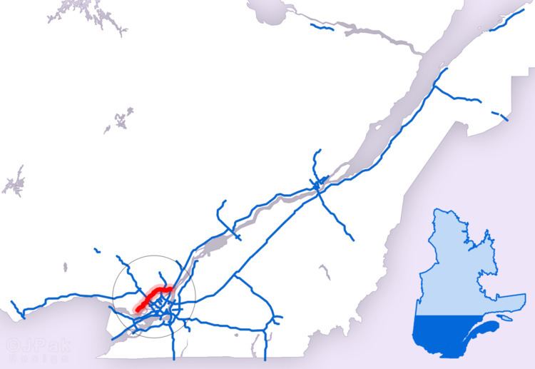
Autoroute 640 (or A-640) is a provincial superhighway that runs across the North Shore Region (paralleling the Rivière des Mille-Îles) from Route 344 in the Oka area to Route 138, where it ends as a four-lane expressway in Charlemagne. It was designed as a northern bypass to Montreal and was originally intended to cross the Lake of Two Mountains to connect to Autoroute 40 near Vaudreuil, but that section is unlikely to be constructed. It is currently 54.8 km (34.1 mi) long.
Contents
Map of Autoroute 640, Qu%C3%A9bec, Canada
Years of construction
A-640 was built over the following timeline:
References
Quebec Autoroute 640 Wikipedia(Text) CC BY-SA