
Existed: 1974 – present Constructed 1974 | Length 18.2 km Province Québec | |
 | ||
Autoroute 440 (or A-440, also known as Autoroute Jean-Noël-Lavoie and previously as Autoroute Laval) is a provincial highway that runs across the city of Laval, Quebec from Autoroute 13 to Autoroute 25. It is currently 18.2 km (11.3 mi) long, proceeding across Île Jésus on an east–west axis. It links every highway or expressway that connects Montreal to the North Shore.
Contents
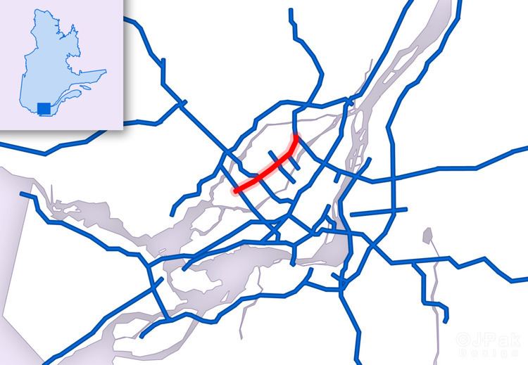
Map of Autoroute 440, Laval, QC, Canada
Originally, it would have continued West in the Avenue des Bois corridor and crossed Rivière des Prairies on Bigras and Bizard Islands. On the latter island, the right-of-way is actually a public park. On the Island of Montreal, the A-440 right-of-way is just west of Boulevard Chateau-Pierrefonds. The autoroute would have ended at the Chemin Sainte-Marie interchange (Exit 49) on Autoroute 40.
Years of construction
A-440 was built over the following timeline:
Note: Only service roads were originally built from A-13 to Boulevard Industriel (Exit 24), but they were signed as Autoroute 440 until the autoroute was completed in 1994.
Exit list
The entire route is in Laval.