
Country United States County Dougherty FIPS code 13-63084 Elevation 61 m Population 2,898 (2010) | Time zone Eastern (EST) (UTC-5) GNIS feature ID 0332767 Zip code 31782 Area code Area code 229 | |
 | ||
Area 56.72 km² (56.72 km² Land / 26 ha Water) | ||
Putney is a census-designated place (CDP) and unincorporated community in Dougherty County, Georgia, United States. The population was 2,898 at the 2010 census. It is part of the Albany, Georgia Metropolitan Statistical Area.
Contents
Map of Putney, GA 31705, USA
Geography
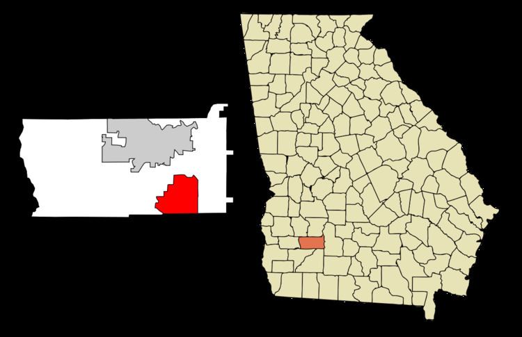
Putney is located in southeastern Dougherty County at 31°28′23″N 84°7′17″W (31.473076, -84.121492). The southern border of the CDP is the Mitchell County line, and part of the western edge is the Flint River. U.S. Route 19 (the Liberty Expressway) is the main highway through Putney, leading north 7 miles (11 km) to Albany and south 50 miles (80 km) to Thomasville.
According to the United States Census Bureau, the Putney CDP has a total area of 21.9 square miles (56.8 km2), of which 21.9 square miles (56.6 km2) is land and 0.1 square miles (0.3 km2), or 0.49%, is water.
Demographics
As of the census of 2000, there were 2,998 people, 1,138 households, and 899 families residing in the CDP. The population density was 139.6 people per square mile (53.9/km²). There were 1,223 housing units at an average density of 56.9/sq mi (22.0/km²). The racial makeup of the CDP was 68.81% White, 29.52% African American, 0.13% Native American, 0.23% Asian, 0.50% from other races, and 0.80% from two or more races. Hispanic or Latino of any race were 1.00% of the population.
There were 1,138 households out of which 31.8% had children under the age of 18 living with them, 59.7% were married couples living together, 14.8% had a female householder with no husband present, and 21.0% were non-families. 17.2% of all households were made up of individuals and 5.4% had someone living alone who was 65 years of age or older. The average household size was 2.63 and the average family size was 2.96.
In the CDP, the population was spread out with 24.4% under the age of 18, 8.3% from 18 to 24, 26.5% from 25 to 44, 28.5% from 45 to 64, and 12.3% who were 65 years of age or older. The median age was 39 years. For every 100 females there were 96.8 males. For every 100 females age 18 and over, there were 93.8 males.
The median income for a household in the CDP was $40,953, and the median income for a family was $44,244. Males had a median income of $35,377 versus $21,910 for females. The per capita income for the CDP was $18,828. About 12.8% of families and 16.8% of the population were below the poverty line, including 26.9% of those under age 18 and 11.9% of those age 65 or over.