
Area 312.3 km² | Time zone BST (UTC+6) | |
 | ||
Website Official Map of Purbadhala | ||
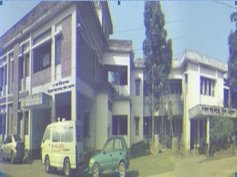
Purbadhala (Bengali: পূর্বধলা) is an Upazila of Netrokona District in the Division of Mymensingh, Bangladesh.
Contents
Map of Purbadhala, Bangladesh
Geography
Purbadhala is located at 24.9333°N 90.6028°E / 24.9333; 90.6028 . It has 44799 households and total area 312.3 km².
Demographics
As of the 1991 Bangladesh census, Purbadhala has a population of 235675. Males constitute 50.79% of the population, and females 49.21%. This Upazila's eighteen up population is 114878. Purbadhala has an average literacy rate of 23% (7+ years), and the national average of 32.4% literate.
Administration
Purbadhala has 12 Unions/Wards, 229 Mauzas/Mahallas, and 334 villages.
The Unions of purbdhala are following :
1.
2. Hugla Union
3. Ghagra Union
4. Jaria Union
5. Dhola Mulgao Union
6. Purbdhala
7. Bishkakuni Union
8. Agia Union
9. Khalishapur Union
10. Narandia Union
11. Gohalakanda Union
12. Bhairati Union
Chairman:Sujon, from Awame League Vice Chairman: Masum Mostofa, from Jamayet e Islam