
Elevation 3,105 m | First ascent Unknown Province Province of Lleida | |
 | ||
Similar Rodó de Canalbona, Pic Verdaguer, Pic de Sotllo, Pic de Montcalm, Pica d'Estats | ||
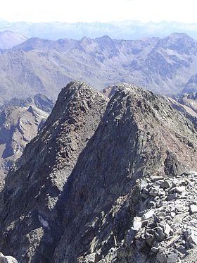
Punta Gabarró or Punta de Gabarró is a mountain of the Montcalm Massif. Located in the Pyrenees, at the border between France and Spain, it has an elevation of 3,105 metres (10,187 ft) above sea level.
Map of Punta Gabarr%C3%B3, Auzat, France
This peak was named after Pere Gabarró i Garcia, a Catalan mountaineer who found a new route to climb the Pica d'Estats.
This mountain is included in the Parc Natural de l'Alt Pirineu together with Pica d'Estats and Pic Verdaguer.
References
Punta Gabarró Wikipedia(Text) CC BY-SA