
First ascent Unknown | Elevation 3,129 m | |
 | ||
Similar Punta Gabarró, Pic de Sotllo, Rodó de Canalbona, Pic de Montcalm, Pica d'Estats | ||
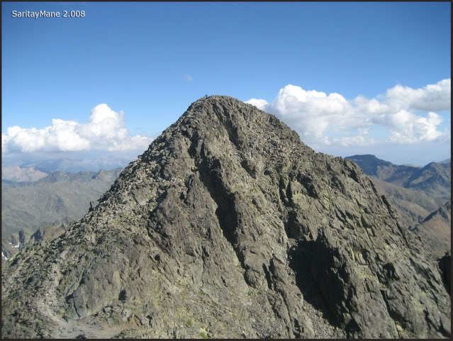
Pic Verdaguer or Pic de Verdaguer is a mountain of the Montcalm Massif. Located in the Pyrenees, at the border between France and Spain, it has an altitude of 3,129 metres (10,266 ft) above sea level.
Map of Pic Verdaguer, Auzat, France
This mountain is included in the Parc Natural de l'Alt Pirineu together with Pica d'Estats and Punta Gabarró.
References
Pic Verdaguer Wikipedia(Text) CC BY-SA