
 | ||
2012 08 12 punchbowl glacier helicopter ride
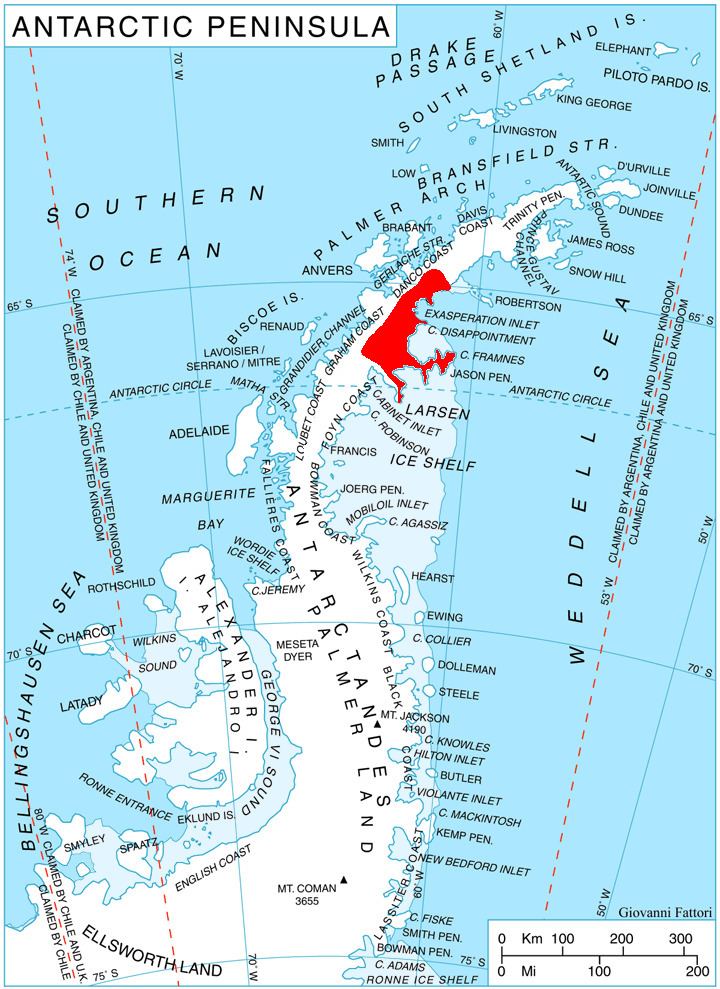
Punchbowl Glacier (65°11′S 61°57′W) is a glacier that flows southwards between Poibrene Heights and Metlichina Ridge, and enters the north end of Exasperation Inlet, north of Jorum Glacier, on the east side of Graham Land, Antarctica. Surveyed by Falkland Islands Dependencies Survey (FIDS) in 1947 and 1955. The name applied by United Kingdom Antarctic Place-Names Committee (UK-APC) is descriptive of shape as the glacier is hemmed in by mountains.
Contents
- 2012 08 12 punchbowl glacier helicopter ride
- Map of Punchbowl Glacier Antarctica
- Dog sledding on punchbowl glacier girdwood alaska part 1 of 3
- References
Map of Punchbowl Glacier, Antarctica
This article incorporates public domain material from the United States Geological Survey document "Punchbowl Glacier" (content from the Geographic Names Information System).
Dog sledding on punchbowl glacier girdwood alaska part 1 of 3
References
Punchbowl Glacier Wikipedia(Text) CC BY-SA