
 | ||
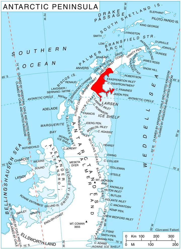
Metlichina Ridge (Bulgarian: хребет Метличина, ‘Hrebet Metlichina’ \'hre-bet me-'tli-chi-na) is the partly ice-free ridge extending 12.6 km in northwest-southeast direction, 3.9 km wide and rising to 850 m (St. Angelariy Peak) on Oscar II Coast, Graham Land in Antarctica. It is bounded by Punchbowl Glacier to the northeast, Exasperation Inlet to the south and Minzuhar Glacier to the southwest, and linked to Forbidden Plateau to the northwest.
Contents
The feature is named after the settlements of Metlichina in northeastern and southern Bulgaria.
Location
The midpoint of Metlichina Ridge is located at 65°10′00″S 62°04′00″W. British mapping in 1974.
Maps
References
Metlichina Ridge Wikipedia(Text) CC BY-SA