
Founded December 14, 1957 Demonym(s) Puertoboyacense Population 55,286 (2015) | Elevation 145 m (476 ft) Area 1,472 km² Local time Wednesday 4:38 PM | |
 | ||
Province Boyacá Special Handling Zone Weather 31°C, Wind N at 10 km/h, 59% Humidity | ||
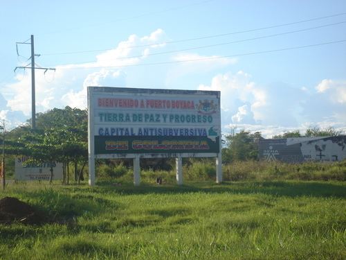
Puerto Boyacá is a Colombian river-port town and municipality by the Magdalena River in the Boyacá Department, where is also considered a Special Handling Zone due to its port status. Its main industries are oil exploration and processing. In the 1980s and early 1990s, Puerto Boyacá was affected intensively by the Colombian Armed Conflict.
Contents
Map of Puerto Boyac%C3%A1, Boyac%C3%A1, Colombia
Borders
Other information
Born in Puerto Boyacá
References
Puerto Boyacá Wikipedia(Text) CC BY-SA