
GB/T 2260 CODE 530800 Highest elevation 3,306 m (10,846 ft) Elevation 1,306 m Area code 0879 | Admin HQ Simao Lowest elevation 376 m (1,234 ft) Area 45,385 km² Local time Wednesday 11:24 PM | |
 | ||
Admin units ListSimaoNing'erMojiangJingdongJingguZhenyuanJiangchengMenglianLancangXimeng Weather 17°C, Wind S at 11 km/h, 78% Humidity Colleges and Universities Pu'er College, Yunnan Vocational College of Tropical Crops Points of interest Border Posts No 0, Meizihu Park, Menglian Jiata, Nakeli Chama Gudao, Nayun Ancient Town | ||
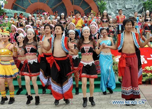
City of puer capital of coffee in china tea source of the world
Pu'er (Chinese: 普洱) is a prefecture-level city in southern Yunnan province, People's Republic of China. The name Pu'er dates back to 1729, but was changed to Simao (Chinese: 思茅; pinyin: Sīmáo) in 1950 after the Communist Revolution. In 2007, the original name of Pu'er was restored. This change had an effect on the size of the official Pu'er tea production area, a major regional product. The urban administrative center of Pu'er is Simao District, which is also the former name of the prefecture-level city itself. A major downturn in the price of tea in 2007 caused severe economic distress in the area. The price of Pu'er has since recovered and Pu'er tea still contributes much to the income of the area.
Contents
- City of puer capital of coffee in china tea source of the world
- Map of Puer Yunnan China
- Sports
- Geography
- Transport
- References
Map of Pu'er, Yunnan, China
Sports
Association football is the most popular sport in Pu'er. The largest sports venue in the city is the 15,000-capacity Pu'er Stadium.
Geography
Pu'er is located in southern/southwestern Yunnan, on the lower reaches of the Mekong (known in Chinese as the Lancang), with the bordering prefectures being Yuxi to the northeast, Honghe to the east, Xishuangbanna to the south, Lincang to the northwest, and Dali and Chuxiong. It also shares borders with Vietnam (Điện Biên Province), Laos (Phongsaly Province), and Burma (Shan State), being the only prefecture in Yunnan to border all three countries. As with much of the province, mountainous terrain dominates its administrative area, covering 98.3%. Elevations range from 376 to 3,306 metres (1,234 to 10,846 ft).
Located at an altitude of above 1,300 m (4,300 ft) and within a degree south of the Tropic of Cancer, Pu'er, as with much of southern Yunnan, has a warm humid subtropical climate (Köppen Cwa), with muddled distinction between the seasons and daytime temperatures remaining warm year-round. Highs peak in April and May before the core of the rainy season and reach a minimum in December; however, the warmest and coolest months are June and January, respectively at 23.2 °C (73.8 °F) and 13.7 °C (56.7 °F); the annual mean is 19.45 °C (67.0 °F). June thru September accounts for nearly 70% of the annual rainfall of 1,500 mm (59 in) and during this time, some rainfall occurs on most days, pushing relative humidity above 80% and there is a marked reduction in sunshine. With monthly percent possible sunshine ranging from 24% in July to 69% in February, the city receives 2,038 hours of bright sunshine annually.