
Car plates WPU | Area 828.6 km² | |
 | ||
Gminas Total 7Gmina GzyGmina ObryteGmina PokrzywnicaGmina PułtuskGmina ŚwierczeGmina WinnicaGmina Zatory Points of interest Schloss in Pułtusk, Puszcza Biała, Muzeum Regionalne w Pułtusku, Rezerwat przyrody Dzierżeni | ||
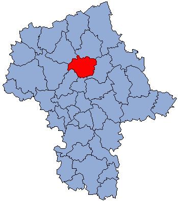
Pułtusk County (Polish: powiat pułtuski) is a unit of territorial administration and local government (powiat) in Masovian Voivodeship, east-central Poland. It came into being on January 1, 1999, as a result of the Polish local government reforms passed in 1998. Its administrative seat and only town is Pułtusk, which lies 54 kilometres (34 mi) north of Warsaw.
Contents
Map of Pu%C5%82tusk County, Poland
The county covers an area of 828.63 square kilometres (319.9 sq mi). As of 2006 its total population is 51,033, out of which the population of Pułtusk is 19,229 and the rural population is 31,804.
Neighbouring counties
Pułtusk County is bordered by Maków County to the north, Wyszków County to the east, Legionowo County to the south, Nowy Dwór Mazowiecki County to the south-west, and Płońsk County and Ciechanów County to the west.
Administrative division
The county is subdivided into seven gminas (one urban-rural and six rural). These are listed in the following table, in descending order of population.