
Car plates WCI | Area 1,063 km² | |
 | ||
Gminas Total 9 (incl. 1 urban)CiechanówGmina CiechanówGmina GlinojeckGmina Gołymin-OśrodekGmina GruduskGmina OjrzeńGmina Opinogóra GórnaGmina RegiminGmina Sońsk Points of interest Castle of the Masovian, Muzeum Romantyzmu w Opinog, Muzeum Szlachty Mazowieckiej | ||
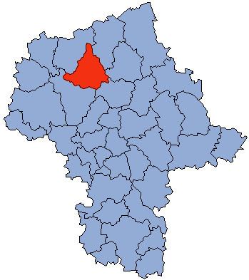
Ciechanów County (Polish: powiat ciechanowski) is a unit of territorial administration and local government (powiat) in Masovian Voivodeship, east-central Poland. It came into being on January 1, 1999, as a result of the Polish local government reforms passed in 1998. Its administrative seat and largest town is Ciechanów, which lies 77 kilometres (48 mi) north of Warsaw. The only other town in the county is Glinojeck, lying 25 km (16 mi) west of Ciechanów.
Contents
Map of Ciechan%C3%B3w County, Poland
The county covers an area of 1,062.62 square kilometres (410.3 sq mi). As of 2006 its total population is 91,050, out of which the population of Ciechanów is 45,902, that of Glinojeck is 3,052, and the rural population is 42,096.
Neighbouring counties
Ciechanów County is bordered by Mława County to the north, Przasnysz County to the north-east, Maków County and Pułtusk County to the east, and Płońsk County to the south.
Administrative division
The county is subdivided into nine gminas (one urban, one urban-rural and seven rural). These are listed in the following table, in descending order of population.